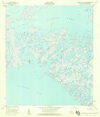
1953 Map of Grand Bayou Du Large
USGS Topo · Published 1959About this map
The coastal marshlands of Terrebonne Parish are defined here by an intricate web of waterways and tidal lakes just before the mid-century intensification of offshore industry. Large water bodies like King Lake and Caillou Lake dominate the upper reaches, while the major arteries of Grand Bayou Du Large and Grand Bayou Caillou provide passage toward the open waters of Caillou Bay.
Find a feature on this map
20 named features on this map. Tap any name to fly to it.
Don’t see what you’re looking for? This feature index may not catch every label — zoom into the map to look around manually.
Map Details
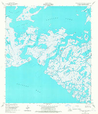
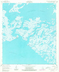
Editions of this 1953 Grand Bayou Du Large Map
3 editions found
Other maps of this area

1894 · Bayou De Large
USGS Topo · 1:62,500

1932 · Lake Decade
USGS Topo · 1:62,500

1935 · Lake Mechant
USGS Topo · 1:31,680

1935 · Oyster Bayou
USGS Topo · 1:62,500

1940 · Bayou Du Large
USGS Topo · 1:62,500

1941 · Bayou Du Large
USGS Topo · 1:62,500

1944 · Bayou Du Large
USGS Topo · 1:62,500

1945 · New Orleans
USGS Topo · 1:250,000
1947 · West Derniere
USGS Topo · 1:31,680

1949 · Grand Bayou Du Large
USGS Topo · 1:31,680