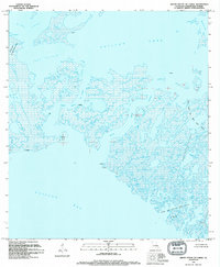
1994 Map of Grand Bayou Du Large
USGS Topo · Published 1994About this map
Grand Bayou Du Large and the surrounding marshlands of Terrebonne Parish are captured here during a period of significant industrial activity in the mid-1990s. The landscape is a complex network of wetlands and open water, where the boundaries between land and sea are increasingly fluid. Economic life in these coastal reaches is defined by the extraction of natural resources, evidenced by the expansive Junop Bay Oil and Gas Field and Dog Lake Oil and Gas Field. A single platform stands as a focal point for navigation and industry amid the sprawling waters of Caillou Lake and King Lake.
Find a feature on this map
25 named features on this map. Tap any name to fly to it.
Don’t see what you’re looking for? This feature index may not catch every label — zoom into the map to look around manually.
Map Details
Editions of this 1994 Grand Bayou Du Large Map
2 editions found
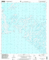
Other maps of this area

1894 · Bayou De Large
USGS Topo · 1:62,500

1932 · Lake Decade
USGS Topo · 1:62,500

1935 · Lake Mechant
USGS Topo · 1:31,680

1935 · Oyster Bayou
USGS Topo · 1:62,500

1940 · Bayou Du Large
USGS Topo · 1:62,500

1941 · Bayou Du Large
USGS Topo · 1:62,500

1944 · Bayou Du Large
USGS Topo · 1:62,500

1945 · New Orleans
USGS Topo · 1:250,000
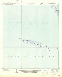
1947 · West Derniere
USGS Topo · 1:31,680

1949 · Grand Bayou Du Large
USGS Topo · 1:31,680