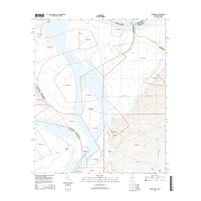
2015 Map of Grand Gulf
USGS Topo · Published 2015About this map
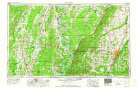
The Mississippi River defines this landscape where the borders of Mississippi and Louisiana weave through a complex network of oxbows and islands. At the heart of the region sits Grand Gulf, an area shaped by the shifting currents that created features like Yucatan Lake and the Yucatan Cutoff. The map illustrates the dramatic relief where the river bottomlands meet the high ground of Thompsons Bluff to the east.
Find a feature on this map
52 named features on this map. Tap any name to fly to it.
Don’t see what you’re looking for? This feature index may not catch every label — zoom into the map to look around manually.
Map Details
Editions of this 2015 Grand Gulf Map
This is the sole edition of this map. No revisions or reprints were ever made.
Other maps of this area
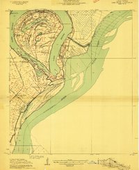
1909 · Lake Bruen
USGS Topo · 1:24,000
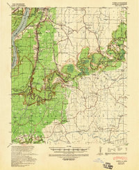
1939 · Yokena
USGS Topo · 1:62,500
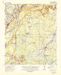
1939 · Lorman
USGS Topo · 1:62,500
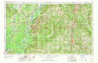
1953 · Natchez
USGS Topo · 1:250,000

1955 · Jackson
USGS Topo · 1:250,000
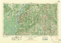
1956 · Natchez
USGS Topo · 1:250,000
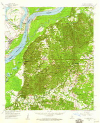
1958 · St. Joseph
USGS Topo · 1:62,500
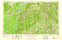
1959 · Natchez
USGS Topo · 1:250,000

1961 · Jackson
USGS Topo · 1:250,000
1962 · Jackson
USGS Topo · 1:250,000