
1958 Map of St. Joseph
USGS Topo · Published 1960About this map
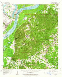
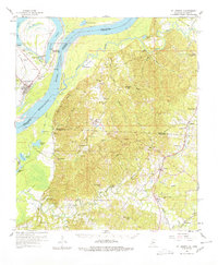
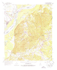
St Joseph stands as the Tensas Parish seat along the western banks of the Mississippi River, where the landscape is defined by the sharp contrast between the alluvial plain and the rising hills of Mississippi to the east. The river’s shifting path is marked by features like Bondurant Chute and Bondurant Towhead, while the curved expanse of Lake Bruin serves as a reminder of a former river channel, now home to Lake Bruin State Park. This late-1950s landscape is deeply tied to its plantation and educational history, evidenced by the Windsor Ruins and the presence of Alcorn and its associated Alcorn Sch. Transportation networks including the Missouri Pacific and the Illinois Central Railroad flank the river, connecting riverside settlements like Bruinsburg and Rodney to the wider region. Numerous rural landmarks, such as Mt Zion Ch and the Laurel Hill Cem, provide essential data points for tracing family lineages in this river-border region.
Find a feature on this map
82 named features on this map. Tap any name to fly to it.
Don’t see what you’re looking for? This feature index may not catch every label — zoom into the map to look around manually.
Map Details
Editions of this 1958 St. Joseph Map
4 editions found
Other maps of this area

1909 · Delta Bridge
USGS Topo · 1:24,000

1909 · Lake Bruen
USGS Topo · 1:24,000

1921 · Natchez
USGS Topo · 1:48,000

1922 · Natchez
USGS Topo · 1:62,500

1935 · Shackleford Lake
USGS Topo · 1:62,500

1939 · Yokena
USGS Topo · 1:62,500

1939 · Lorman
USGS Topo · 1:62,500

1939 · Natchez
USGS Topo · 1:62,500

1939 · Locust Ridge
USGS Topo · 1:62,500

1953 · Natchez
USGS Topo · 1:250,000