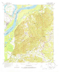
1958 Map of St. Joseph
USGS Topo · Published 1978About this map
The Mississippi River creates a dynamic border between Tensas Parish, Louisiana, and Claiborne and Jefferson Counties in Mississippi. On the Louisiana side, St Joseph serves as the regional hub, situated near the oxbow of Bruin Lake and Lake Bruin State Park. Across the water, the Petit Gulf Hills rise above the river bottomlands, housing significant local landmarks like the Windsor Ruins and the historic river landing at Bruinsburg.
Find a feature on this map
90 named features on this map. Tap any name to fly to it.
Don’t see what you’re looking for? This feature index may not catch every label — zoom into the map to look around manually.
Map Details
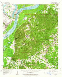
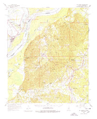
Editions of this 1958 St. Joseph Map
4 editions found

Other maps of this area

1909 · Delta Bridge
USGS Topo · 1:24,000

1909 · Lake Bruen
USGS Topo · 1:24,000

1921 · Natchez
USGS Topo · 1:48,000

1922 · Natchez
USGS Topo · 1:62,500

1935 · Shackleford Lake
USGS Topo · 1:62,500

1939 · Yokena
USGS Topo · 1:62,500

1939 · Lorman
USGS Topo · 1:62,500

1939 · Natchez
USGS Topo · 1:62,500

1939 · Locust Ridge
USGS Topo · 1:62,500

1953 · Natchez
USGS Topo · 1:250,000