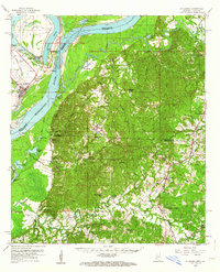
1958 Map of St. Joseph
USGS Topo · Published 1964About this map
The Mississippi River creates a dramatic boundary on this late-1950s survey, its course punctuated by Bondurant Towhead and the oxbow of Lake Bruin. This river-centric geography defines the split between the Louisiana lowlands and the higher bluffs of Mississippi. On the eastern bank, the terrain transitions into the Petit Gulf Hills, where the famous Windsor Ruins stand as a silent marker of antebellum architecture near Bruinsburg. The landscape is dotted with small communities and essential social centers, from the settlement of St Joseph and its Landing Field to the educational hub at Alcorn. Transport networks of the mid-century are well-defined, showing the Illinois Central and Missouri Pacific railroads alongside numerous country churches like Fellowship Ch and Travelers Rest Ch, which served the rural populations of Tensas and Claiborne parishes.
Find a feature on this map
65 named features on this map. Tap any name to fly to it.
Don’t see what you’re looking for? This feature index may not catch every label — zoom into the map to look around manually.
Map Details
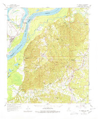
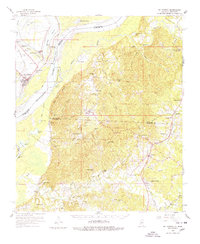
Editions of this 1958 St. Joseph Map
4 editions found

Other maps of this area

1909 · Delta Bridge
USGS Topo · 1:24,000

1909 · Lake Bruen
USGS Topo · 1:24,000

1921 · Natchez
USGS Topo · 1:48,000

1922 · Natchez
USGS Topo · 1:62,500

1935 · Shackleford Lake
USGS Topo · 1:62,500

1939 · Yokena
USGS Topo · 1:62,500

1939 · Lorman
USGS Topo · 1:62,500

1939 · Natchez
USGS Topo · 1:62,500

1939 · Locust Ridge
USGS Topo · 1:62,500

1953 · Natchez
USGS Topo · 1:250,000