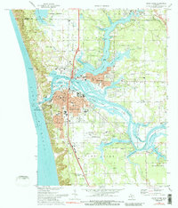
1972 Map of Grand Haven
USGS Topo · Published 1989About this map
Grand Haven and its neighboring communities of Ferrysburg and Spring Lake are defined by an intricate network of waterways and islands where the Grand River meets Lake Michigan. The landscape is a mix of industrial riverfront activity and recreational shoreline, featuring the Coast Guard Sta, a Lighthouse, and extensive parklands like Grand Haven State Park. On Harbor Island, a power plant and sewage disposal facilities sit alongside the winding South Channel, illustrating the mid-century industrial utility of the river mouth.
Find a feature on this map
88 named features on this map. Tap any name to fly to it.
Don’t see what you’re looking for? This feature index may not catch every label — zoom into the map to look around manually.
Map Details
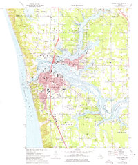
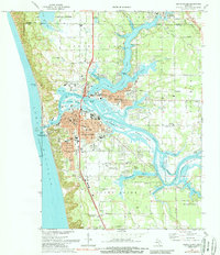
Editions of this 1972 Grand Haven Map
3 editions found
Other maps of this area

1929 · Holland
USGS Topo · 1:62,500

1930 · Lake Harbor
USGS Topo · 1:48,000

1930 · Muskegon
USGS Topo · 1:62,500

1932 · Holland
USGS Topo · 1:62,500

1936 · Muskegon
USGS Topo · 1:62,500

1936 · Lake Harbor
USGS Topo · 1:62,500

1954 · Milwaukee
USGS Topo · 1:250,000

1958 · Milwaukee
USGS Topo · 1:250,000

1958 · Racine
USGS Topo · 1:250,000

1962 · Racine
USGS Topo · 1:250,000