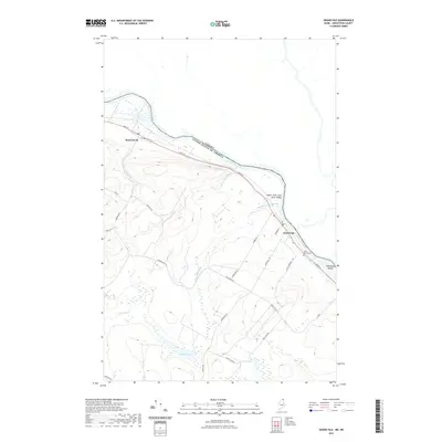
2021 Map of Grand Isle
USGS Topo · Published 2021About this map
The Saint John River forms a significant international boundary on this northern Maine landscape, separating the United States from Canada. The riverside settlements of Saint David and Grand Isle anchor the Upper Saint John River Valley, where the road network, including Main St and Old Post Office Rd, follows the natural contours of the river's edge. South of the river, the terrain transitions into a more interior woodland and wetland environment characterized by water bodies such as Germain Lake, Lavels Lake, and the winding Little River.
Find a feature on this map
30 named features on this map. Tap any name to fly to it.
Don’t see what you’re looking for? This feature index may not catch every label — zoom into the map to look around manually.
Map Details
Editions of this 2021 Grand Isle Map
This is the sole edition of this map. No revisions or reprints were ever made.
Other maps of this area

1927 · Stockholm
USGS Topo · 1:48,000

1927 · Square Lake
USGS Topo · 1:48,000

1931 · Square Lake
USGS Topo · 1:62,500

1931 · Stockholm
USGS Topo · 1:62,500

1932 · Frenchville
USGS Topo · 1:48,000

1935 · Frenchville
USGS Topo · 1:62,500

1938 · Grand Isle
USGS Topo · 1:62,500

1940 · Grand Isle
USGS Topo · 1:62,500

1953 · Stockholm
USGS Topo · 1:62,500

1953 · Square Lake
USGS Topo · 1:62,500