
1935 Map of Frenchville
USGS Topo · Published 1935About this map
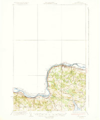
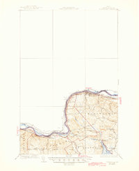
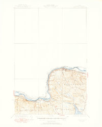
ST John River forms a natural international border in this northern Maine landscape, where agricultural life and rail transport define the borderland during the mid-1930s. The Bangor And Aroostook railroad parallels the river's winding path, connecting riverfront hubs like Frenchville and Madawaska to important freight points such as Pelletier Siding and Cleveland Siding. Numerous numbered and named schoolhouses, including Roosevelt Sch and Washington Sch, are scattered throughout the hills, reflecting a period of localized rural education before modern consolidation. The terrain is characterized by prominent heights like Lake Mtn and Cyr Mtn, with a network of brooks such as Daigle Brook and Ouellette Brook draining toward Long Lake and the St. John valley. This survey provides a clear view of the St. John Valley's French-Acadian heritage through local landmarks like St Luce Sta and Dionne Corner.
Find a feature on this map
44 named features on this map. Tap any name to fly to it.
Don’t see what you’re looking for? This feature index may not catch every label — zoom into the map to look around manually.
Map Details
Editions of this 1935 Frenchville Map
4 editions found
Other maps of this area

1927 · Stockholm
USGS Topo · 1:48,000

1927 · Square Lake
USGS Topo · 1:48,000

1928 · Eagle Lake
USGS Topo · 1:48,000

1931 · Square Lake
USGS Topo · 1:62,500

1931 · Eagle Lake
USGS Topo · 1:62,500

1931 · Stockholm
USGS Topo · 1:62,500

1932 · Frenchville
USGS Topo · 1:48,000

1932 · Fort Kent
USGS Topo · 1:48,000

1935 · Fort Kent
USGS Topo · 1:62,500

1938 · Grand Isle
USGS Topo · 1:62,500