
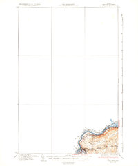
1935 Map of Fort Kent
USGS Topo · Published 1935About this map
The St John River forms a prominent international boundary between the Canada United States border in this northern Aroostook County landscape. In the early 1930s, Fort Kent serves as the primary hub at the confluence of the Fish River, where the Bangor and Aroostook No 1 U S Highway parallels the riverbank. This map reveals a distributed rural network of education, featuring local landmarks such as Roosevelt Sch, Hillside Sch, and Blaine Sch positioned along the hills and tributary waters. The terrain is marked by significant drainages including Audibert Brook and Daigle Bk, which flow through the upland areas south of the main river valley. This survey captures the border region before major mid-century developments, preserving the original footprints of local schools and the settlement pattern of the Maine-New Brunswick frontier.
Find a feature on this map
11 named features on this map. Tap any name to fly to it.
Don’t see what you’re looking for? This feature index may not catch every label — zoom into the map to look around manually.
Map Details
Editions of this 1935 Fort Kent Map
3 editions found
Other maps of this area

1927 · Square Lake
USGS Topo · 1:48,000

1928 · Eagle Lake
USGS Topo · 1:48,000

1930 · St Francis
USGS Topo · 1:48,000

1931 · Square Lake
USGS Topo · 1:62,500

1931 · Eagle Lake
USGS Topo · 1:62,500

1932 · Frenchville
USGS Topo · 1:48,000

1932 · Fort Kent
USGS Topo · 1:48,000

1933 · St Francis
USGS Topo · 1:62,500

1935 · Frenchville
USGS Topo · 1:62,500

1953 · Square Lake
USGS Topo · 1:62,500