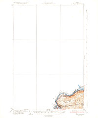
1935 Map of Fort Kent
USGS Topo · Published 1935About this map
Fort Kent stands as a focal point at the international border in the mid-1930s, where the St John River and Fish River meet. This survey, compiled in part from Air Corps aerial photography, illustrates the tight relationship between the river valley and the regional transportation network. The Bangor and Aroostook railroad and the Bangor and Aroostook No 1 Highway parallel the water, marking the primary corridors for commerce and travel between Maine and New Brunswick.
Find a feature on this map
13 named features on this map. Tap any name to fly to it.
Don’t see what you’re looking for? This feature index may not catch every label — zoom into the map to look around manually.
Map Details
Editions of this 1935 Fort Kent Map
3 editions found
Other maps of this area

1927 · Square Lake
USGS Topo · 1:48,000

1928 · Eagle Lake
USGS Topo · 1:48,000

1930 · St Francis
USGS Topo · 1:48,000

1931 · Square Lake
USGS Topo · 1:62,500

1931 · Eagle Lake
USGS Topo · 1:62,500

1932 · Frenchville
USGS Topo · 1:48,000

1932 · Fort Kent
USGS Topo · 1:48,000

1933 · St Francis
USGS Topo · 1:62,500

1935 · Fort Kent
USGS Topo · 1:62,500

1935 · Frenchville
USGS Topo · 1:62,500