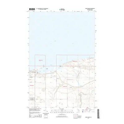
2014 Map of Grand Marais
USGS Topo · Published 2014About this map
Grand Marais serves as the focal point of this coastal landscape, situated along the southern shores of Lake Superior. The town's maritime heritage is evident in the protected waters of the Harbor of Refuge, which is partitioned into West Bay and East Bay by Lonesome Point. Local history and genealogy are preserved at the Holy Rosary Catholic Cem and Rose Hill Cem, both located just south of the main settlement.
Find a feature on this map
42 named features on this map. Tap any name to fly to it.
Don’t see what you’re looking for? This feature index may not catch every label — zoom into the map to look around manually.
Map Details
Editions of this 2014 Grand Marais Map
This is the sole edition of this map. No revisions or reprints were ever made.
Other maps of this area

1954 · Sault Sainte Marie
USGS Topo · 1:250,000

1956 · Sault Sainte Marie
USGS Topo · 1:250,000

1957 · Sault Sainte Marie
USGS Topo · 1:250,000

1958 · Sault Sainte Marie
USGS Topo · 1:250,000

1958 · Marquette
USGS Topo · 1:250,000

1960 · Marquette
USGS Topo · 1:250,000

1961 · Marquette
USGS Topo · 1:250,000

1966 · Au Sable Point SE
USGS Topo · 1:24,000
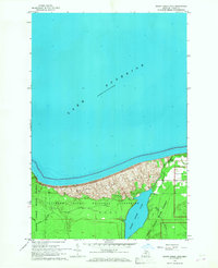
1966 · Grand Sable Lake
USGS Topo · 1:24,000
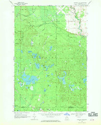
1968 · Nawakwa Lake
USGS Topo · 1:24,000