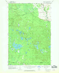
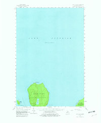
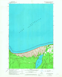
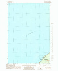
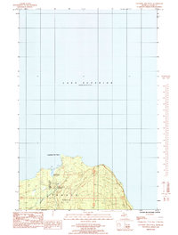
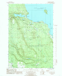
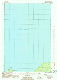
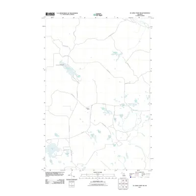
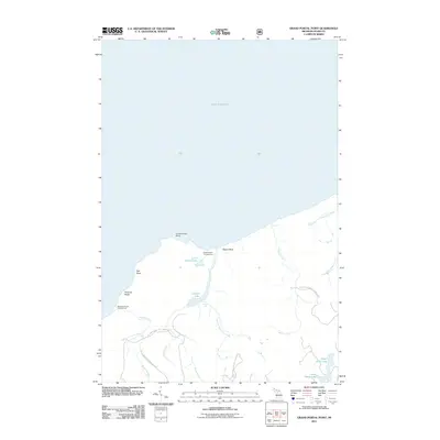
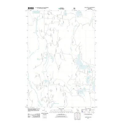
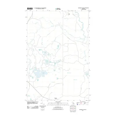
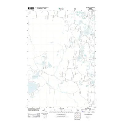
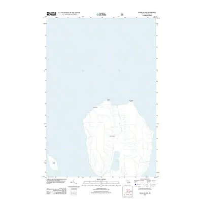
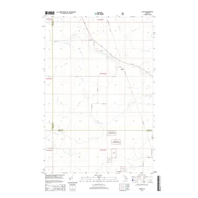
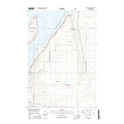
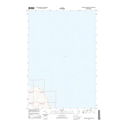
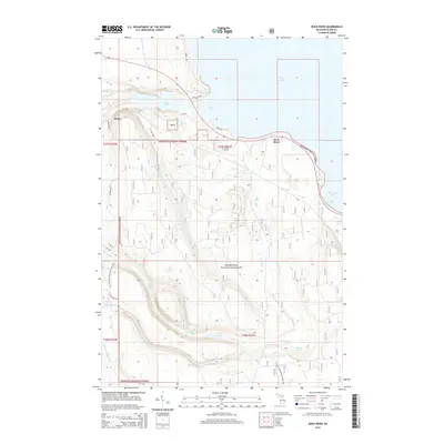
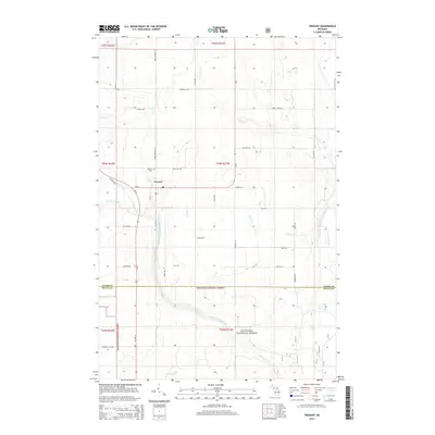
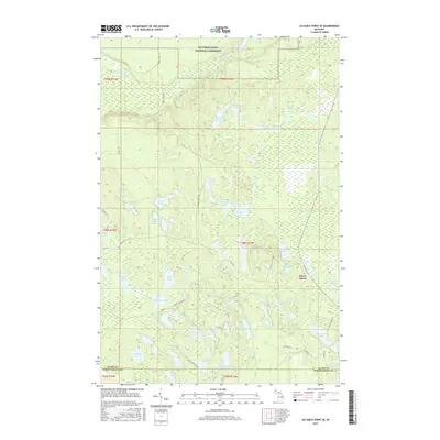
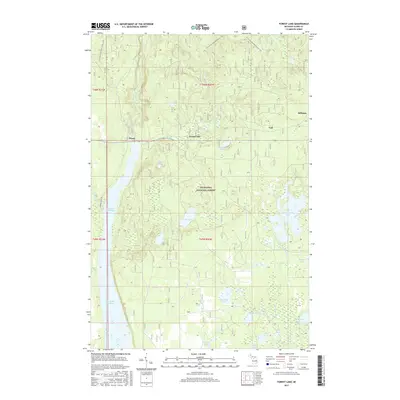
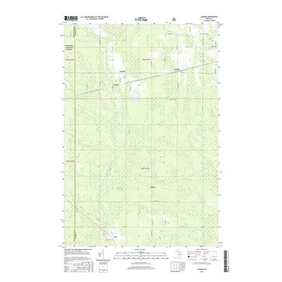
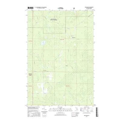
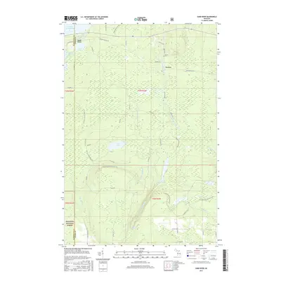
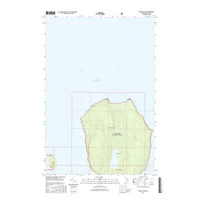
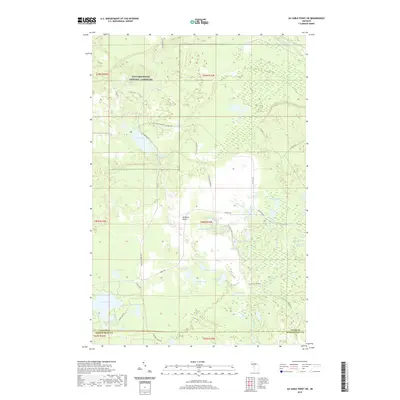
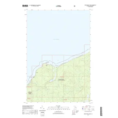
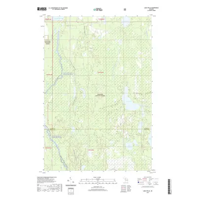
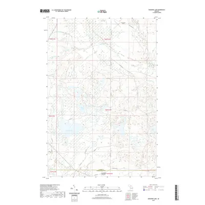
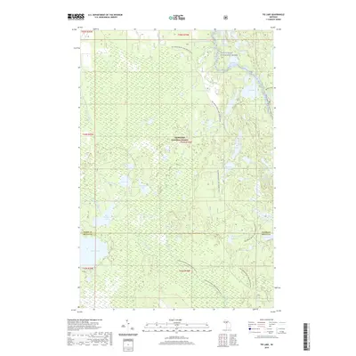
1968 Map of Nawakwa Lake
USGS Topo · Published 1970About this map
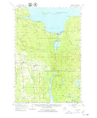
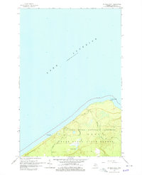
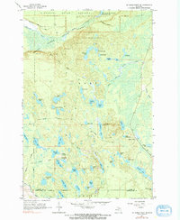
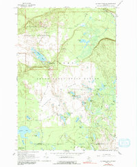
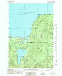
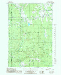
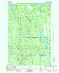
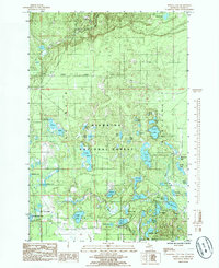
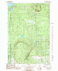
Grand Sable State Forest blankets this northern landscape, defined by a dense network of glacial kettle lakes and the meandering Sucker River. The interior of Burt and Seney townships is largely inaccessible except by an extensive system of Jeep Trails and a prominent Old Railroad Grade that cuts through the northern sections, tracing the legacy of earlier timber extraction. Nawakwa Lake serves as the central focal point, surrounded by smaller named bodies of water like Sullivan Lake, Mitchell Lake, and Newton Lake.
Find a feature on this map
47 named features on this map. Tap any name to fly to it.
Don’t see what you’re looking for? This feature index may not catch every label — zoom into the map to look around manually.
Map Details
Editions of this 1968 Nawakwa Lake Map
This is the sole edition of this map. No revisions or reprints were ever made.
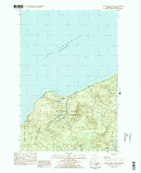
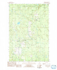
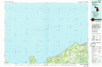
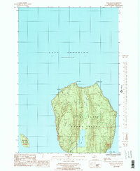
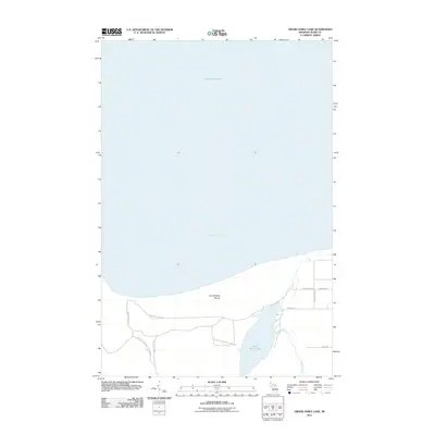
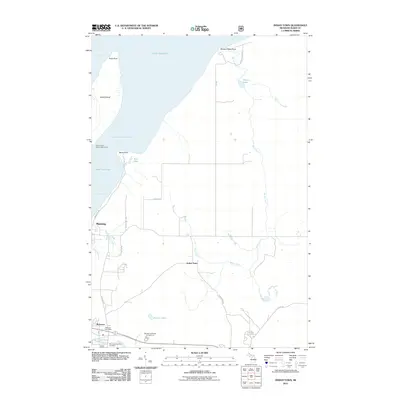
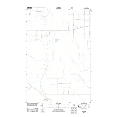
Historical Maps of Burt Township Through Time
146 maps found

1932 Rock NE
Alger County, MI

1932 Skandia NE
Alger County, MI

1932 Skandia SE
Alger County, MI
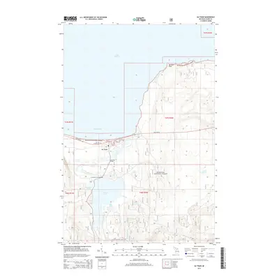
1958 Au Train
Alger County, MI
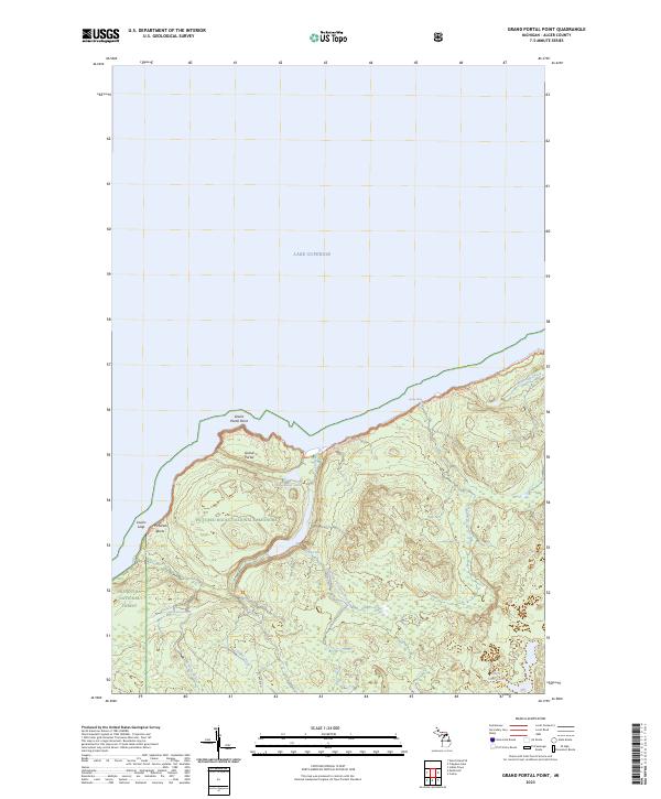
1958 Grand Portal Point
Alger County, MI
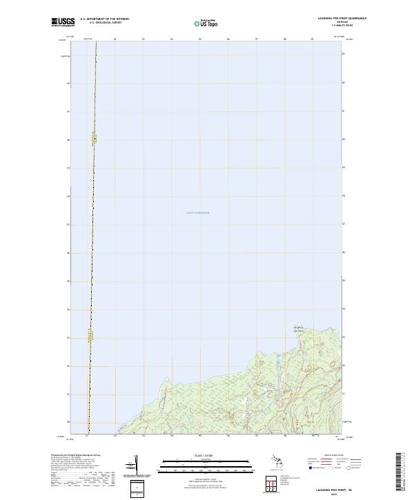
1958 Laughing Fish Point
Alger County, MI
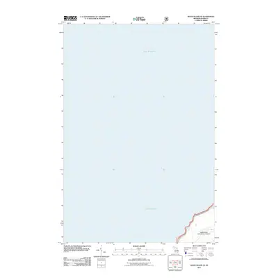
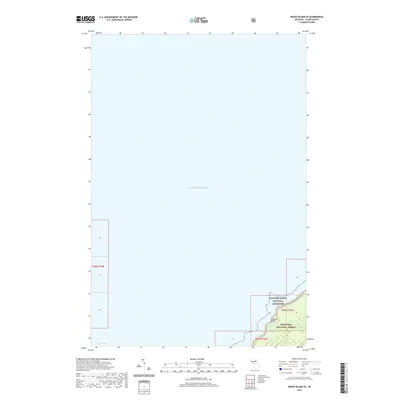
1958 Wood Island
Alger County, MI
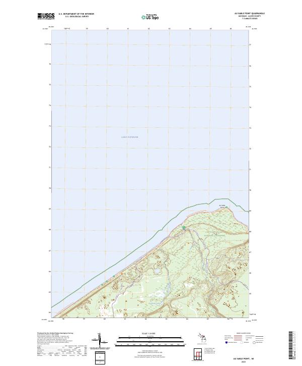
1966 Au Sable Point
Alger County, MI
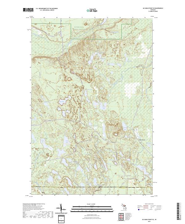
1966 Au Sable Point SE
Alger County, MI
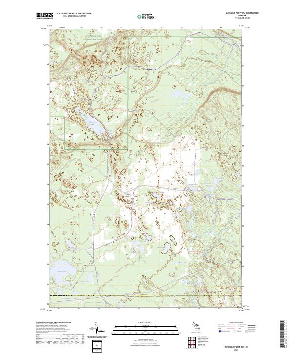
1966 Au Sable Point SW
Alger County, MI
1966 Grand Sable Lake
Alger County, MI
1968 Nawakwa Lake
Alger County, MI
1983 Grand Portal Point
Alger County, MI
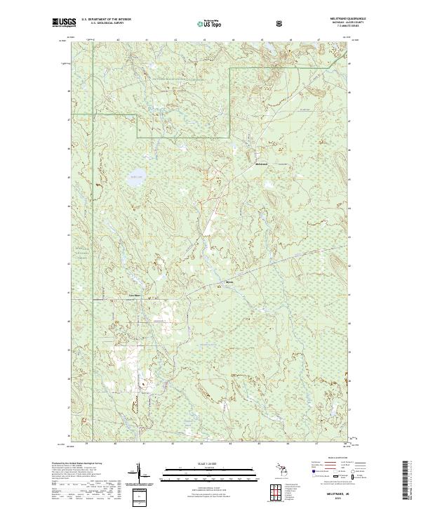
1983 Melstrand
Alger County, MI

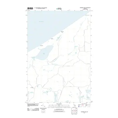
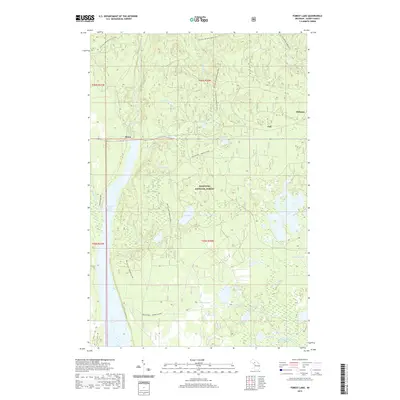
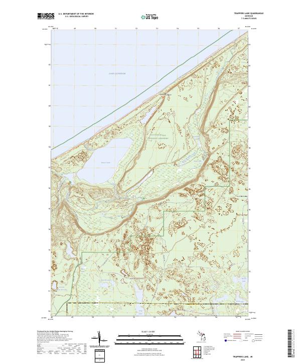
1983 Trappers Lake
Alger County, MI
1984 Au Sable Point
Alger County, MI

1984 Indian Town
Alger County, MI
1984 Wood Island SE
Alger County, MI
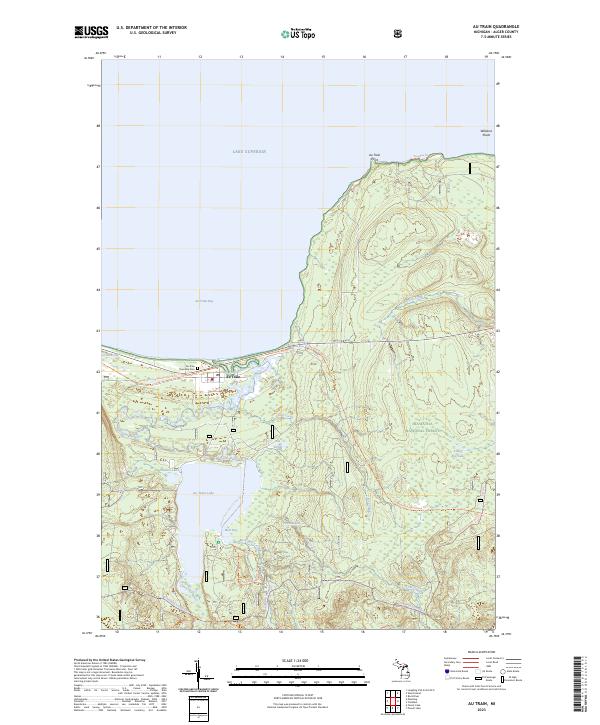
1985 Au Train
Alger County, MI

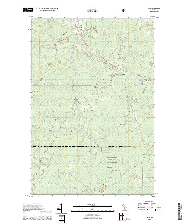
1985 Diffin
Alger County, MI

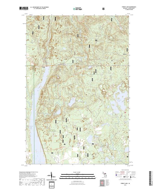
1985 Forest Lake
Alger County, MI
1985 Ladoga
Alger County, MI
1985 Lake Stella
Alger County, MI
1985 Laughing Fish Point
Alger County, MI
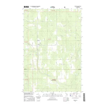
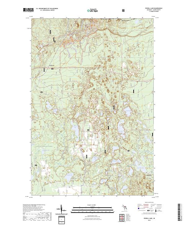
1985 Powell Lake
Alger County, MI
1985 Rock River
Alger County, MI
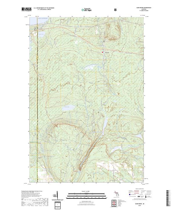
1985 Sand River
Alger County, MI
1985 Shot Point
Alger County, MI

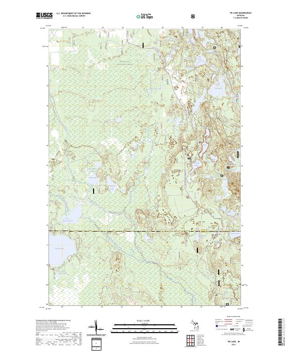
1985 Tie Lake
Alger County, MI

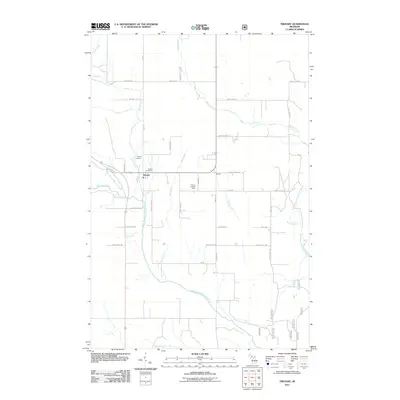
1985 Trenary
Alger County, MI
1985 Wood Island
Alger County, MI
2011 Au Sable Point
Alger County, MI
2011 Au Sable Point SE
Alger County, MI
2011 Au Sable Point SW
Alger County, MI
2011 Au Train
Alger County, MI
2011 Diffin
Alger County, MI
2011 Forest Lake
Alger County, MI
2011 Grand Portal Point
Alger County, MI
2011 Grand Sable Lake
Alger County, MI
2011 Indian Town
Alger County, MI
2011 Ladoga
Alger County, MI
2011 Lake Stella
Alger County, MI
2011 Laughing Fish Point
Alger County, MI
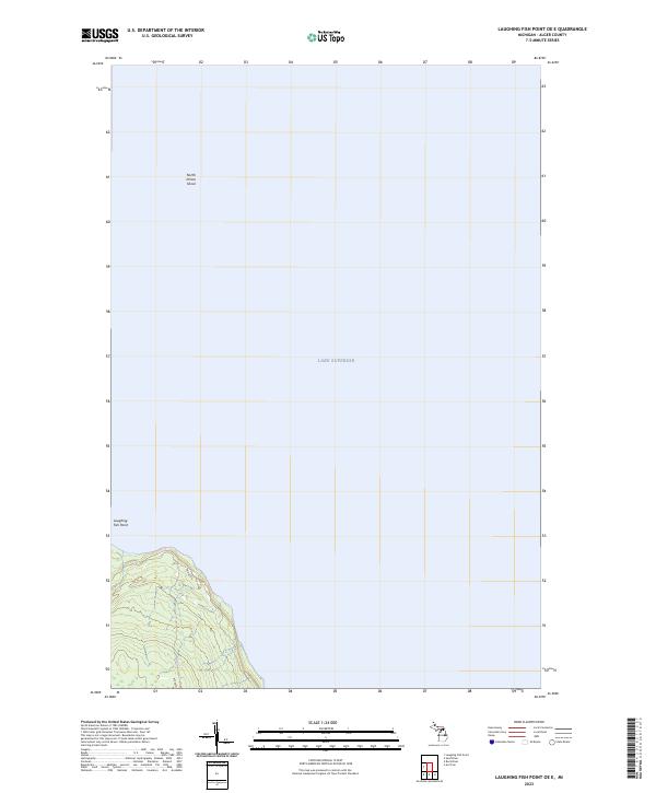
2011 Laughing Fish Point OE E
Alger County, MI
2011 Melstrand
Alger County, MI
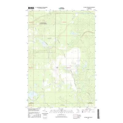
2011 Nawakwa Lake
Alger County, MI
2011 Powell Lake
Alger County, MI
2011 Rock River
Alger County, MI
2011 Sand River
Alger County, MI
2011 Tie Lake
Alger County, MI
2011 Trappers Lake
Alger County, MI
2011 Trenary
Alger County, MI
2011 Wood Island SE
Alger County, MI
2012 Wood Island
Alger County, MI

2014 Au Sable Point
Alger County, MI
2014 Au Sable Point SE
Alger County, MI
2014 Au Sable Point SW
Alger County, MI
2014 Au Train
Alger County, MI
2014 Diffin
Alger County, MI
2014 Forest Lake
Alger County, MI
2014 Grand Portal Point
Alger County, MI
2014 Grand Sable Lake
Alger County, MI
2014 Indian Town
Alger County, MI
2014 Ladoga
Alger County, MI
2014 Lake Stella
Alger County, MI
2014 Laughing Fish Point
Alger County, MI
2014 Laughing Fish Point OE E
Alger County, MI
2014 Melstrand
Alger County, MI
2014 Nawakwa Lake
Alger County, MI
2014 Powell Lake
Alger County, MI
2014 Rock River
Alger County, MI
2014 Sand River
Alger County, MI
2014 Tie Lake
Alger County, MI
2014 Trappers Lake
Alger County, MI
2014 Trenary
Alger County, MI
2014 Wood Island
Alger County, MI
2014 Wood Island SE
Alger County, MI
2017 Au Sable Point
Alger County, MI
2017 Au Sable Point SE
Alger County, MI
2017 Au Sable Point SW
Alger County, MI
2017 Au Train
Alger County, MI
2017 Diffin
Alger County, MI
2017 Forest Lake
Alger County, MI
2017 Grand Portal Point
Alger County, MI
2017 Grand Sable Lake
Alger County, MI
2017 Indian Town
Alger County, MI
2017 Ladoga
Alger County, MI
2017 Lake Stella
Alger County, MI
2017 Laughing Fish Point
Alger County, MI
2017 Laughing Fish Point OE E
Alger County, MI
2017 Melstrand
Alger County, MI
2017 Nawakwa Lake
Alger County, MI
2017 Powell Lake
Alger County, MI
2017 Rock River
Alger County, MI
2017 Sand River
Alger County, MI
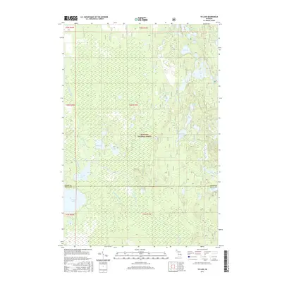
2017 Tie Lake
Alger County, MI
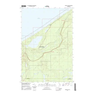
2017 Trappers Lake
Alger County, MI
2017 Trenary
Alger County, MI
2017 Wood Island
Alger County, MI
2017 Wood Island SE
Alger County, MI
2019 Au Sable Point
Alger County, MI
2019 Au Sable Point SE
Alger County, MI
2019 Au Sable Point SW
Alger County, MI
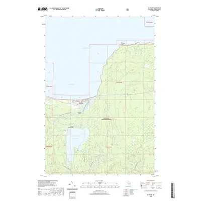
2019 Au Train
Alger County, MI
2019 Diffin
Alger County, MI
2019 Forest Lake
Alger County, MI
2019 Grand Portal Point
Alger County, MI
2019 Grand Sable Lake
Alger County, MI
2019 Indian Town
Alger County, MI
2019 Ladoga
Alger County, MI
2019 Lake Stella
Alger County, MI
2019 Laughing Fish Point
Alger County, MI
2019 Laughing Fish Point OE E
Alger County, MI
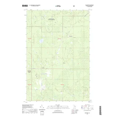
2019 Melstrand
Alger County, MI
2019 Nawakwa Lake
Alger County, MI
2019 Powell Lake
Alger County, MI
2019 Rock River
Alger County, MI
2019 Sand River
Alger County, MI
2019 Tie Lake
Alger County, MI
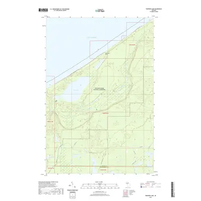
2019 Trappers Lake
Alger County, MI
2019 Trenary
Alger County, MI
2019 Wood Island
Alger County, MI
2019 Wood Island SE
Alger County, MI
2023 Au Sable Point
Alger County, MI
2023 Au Sable Point SE
Alger County, MI
2023 Au Sable Point SW
Alger County, MI
2023 Au Train
Alger County, MI
2023 Diffin
Alger County, MI
2023 Forest Lake
Alger County, MI
2023 Grand Portal Point
Alger County, MI
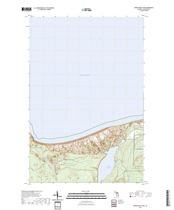
2023 Grand Sable Lake
Alger County, MI
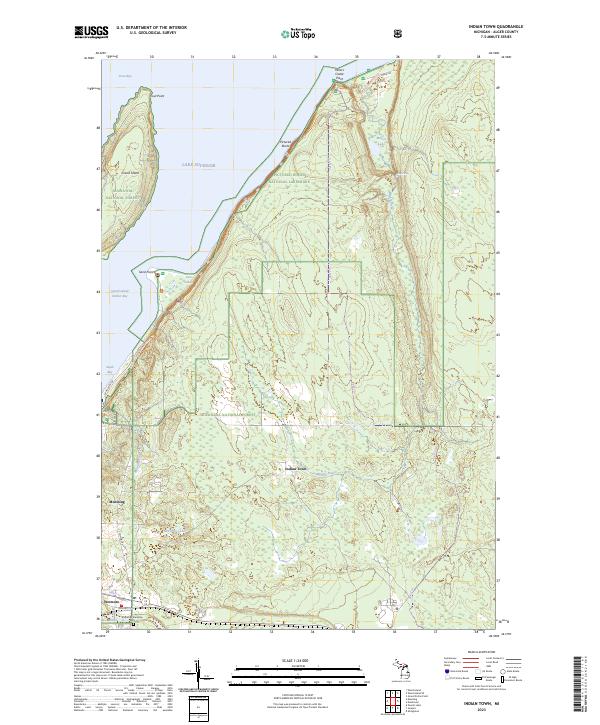
2023 Indian Town
Alger County, MI
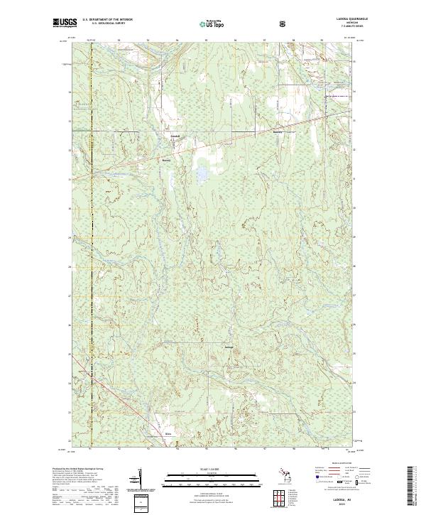
2023 Ladoga
Alger County, MI
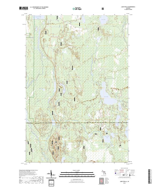
2023 Lake Stella
Alger County, MI
2023 Laughing Fish Point
Alger County, MI
2023 Laughing Fish Point OE E
Alger County, MI
2023 Melstrand
Alger County, MI
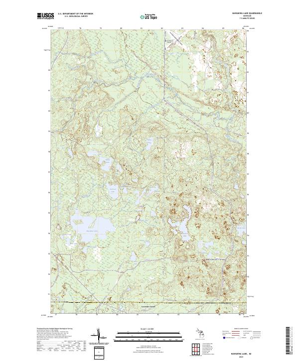
2023 Nawakwa Lake
Alger County, MI
2023 Powell Lake
Alger County, MI

2023 Rock River
Alger County, MI
2023 Sand River
Alger County, MI
2023 Tie Lake
Alger County, MI
2023 Trappers Lake
Alger County, MI
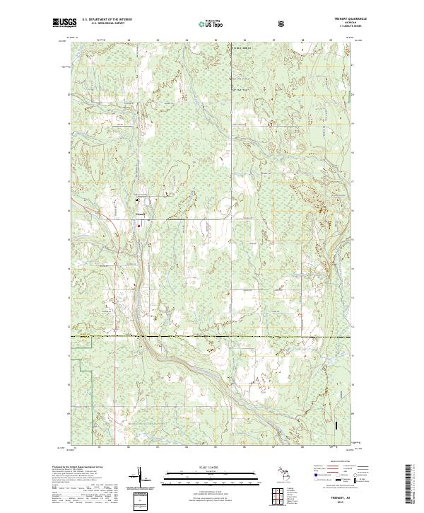
2023 Trenary
Alger County, MI
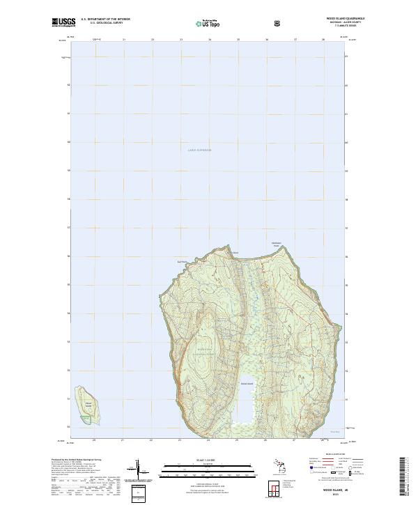
2023 Wood Island
Alger County, MI
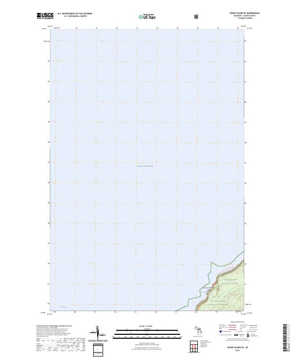
2023 Wood Island SE
Alger County, MI
Featured Locations
- Alger County, MI
- Schoolcraft County, MI
- Seney Township, MI
- Burt Township, MI
- Lavender Corner, Seney Township