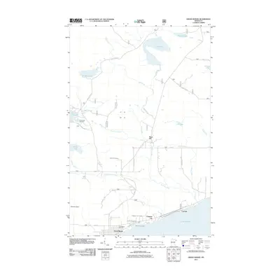
2011 Map of Grand Marais
USGS Topo · Published 2011About this map
Grand Marais serves as the focal point for this North Shore survey, positioned where State Hwy 61 hugs the rugged coast of Lake Superior. The landscape transitions quickly from the harbor town and the Grand Marais Post Office to the dramatic elevation of Sawtooth Bluff. This area is defined by a dense network of waterways, including the Devil Track River, Little Devil Track River, and the Devils Track Lake Dam, which collectively carve through the timbered terrain toward the lake.
Find a feature on this map
39 named features on this map. Tap any name to fly to it.
Don’t see what you’re looking for? This feature index may not catch every label — zoom into the map to look around manually.
Map Details
Editions of this 2011 Grand Marais Map
This is the sole edition of this map. No revisions or reprints were ever made.
Other maps of this area

1919 · Grand Marais
USGS Topo · 1:62,500

1954 · Two Harbors
USGS Topo · 1:250,000

1957 · Two Harbors
USGS Topo · 1:250,000

1958 · Two Harbors
USGS Topo · 1:250,000

1958 · Good Harbor Bay
USGS Topo · 1:24,000

1959 · Northern Light Lake
USGS Topo · 1:24,000

1959 · Pine Mountain
USGS Topo · 1:24,000

1959 · Lima Mountain
USGS Topo · 1:24,000

1960 · Grand Marais
USGS Topo · 1:24,000
1960 · Kadunce Creek
USGS Topo · 1:24,000