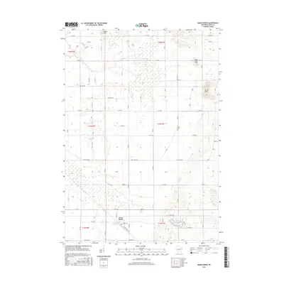
2016 Map of Grand Marsh
USGS Topo · Published 2016About this map
Grand Marsh serves as the central hub of this Central Wisconsin landscape, where the local grid is defined by names like N Railroad Ave and Forest St. The surrounding terrain is marked by notable elevations such as Preston Cliffs, Spring Bluff, and Pilot Knob Bluff, which rise above the wetlands and drainage basins of Fordham Cr and Duck Cr. For those tracing local heritage, the map identifies the locations of Pine Grove Cem and Gould Rock Cem, situated among the section lines of Easton and its neighboring townships. The presence of Patrick Lake at the southern edge highlights the small water bodies that dot this glaciated region. This survey captures the rural character of Adams County in the mid-2010s, showing a transition between agricultural plots and the intricate wetland networks that define the local geography.
Find a feature on this map
34 named features on this map. Tap any name to fly to it.
Don’t see what you’re looking for? This feature index may not catch every label — zoom into the map to look around manually.
Map Details
Editions of this 2016 Grand Marsh Map
This is the sole edition of this map. No revisions or reprints were ever made.
Other maps of this area

1955 · Green Bay
USGS Topo · 1:250,000

1957 · Madison
USGS Topo · 1:250,000

1958 · Arkdale
USGS Topo · 1:48,000

1958 · Coloma
USGS Topo · 1:48,000

1960 · Madison
USGS Topo · 1:250,000

1961 · Oxford
USGS Topo · 1:62,500

1961 · Adams
USGS Topo · 1:62,500

1967 · Roche A Cri
USGS Topo · 1:24,000

1968 · Coloma SW
USGS Topo · 1:24,000

1968 · Coloma
USGS Topo · 1:24,000