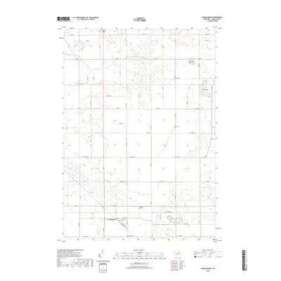
2018 Map of Grand Marsh
USGS Topo · Published 2018About this map
The unincorporated community of Grand Marsh serves as the focal point of this Adams County landscape, situated along the corridor defined by N Railroad Ave and S Railroad Ave. This 2018 survey reveals a topography defined by prominent geological elevations rising above the surrounding terrain, most notably Preston Cliffs, Pilot Knob Bluff, and Spring Bluff. These formations provide a sharp contrast to the low-lying drainage areas of Fordham Cr and Duck Creek. The rural character of the region is preserved through established landmarks such as Pine Grove Cem and Gould Rock Cem, which offer significant value for genealogical research in Easton. A meticulous grid of local roads, including names like Czech Ave and Dakota Ln, reflects the area's agricultural and ethnic settlement patterns in central Wisconsin.
Find a feature on this map
46 named features on this map. Tap any name to fly to it.
Don’t see what you’re looking for? This feature index may not catch every label — zoom into the map to look around manually.
Map Details
Editions of this 2018 Grand Marsh Map
This is the sole edition of this map. No revisions or reprints were ever made.
Other maps of this area

1955 · Green Bay
USGS Topo · 1:250,000

1957 · Madison
USGS Topo · 1:250,000

1958 · Arkdale
USGS Topo · 1:48,000

1958 · Coloma
USGS Topo · 1:48,000

1960 · Madison
USGS Topo · 1:250,000

1961 · Oxford
USGS Topo · 1:62,500

1961 · Adams
USGS Topo · 1:62,500

1967 · Roche A Cri
USGS Topo · 1:24,000

1968 · Coloma SW
USGS Topo · 1:24,000

1968 · Coloma
USGS Topo · 1:24,000