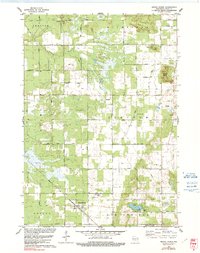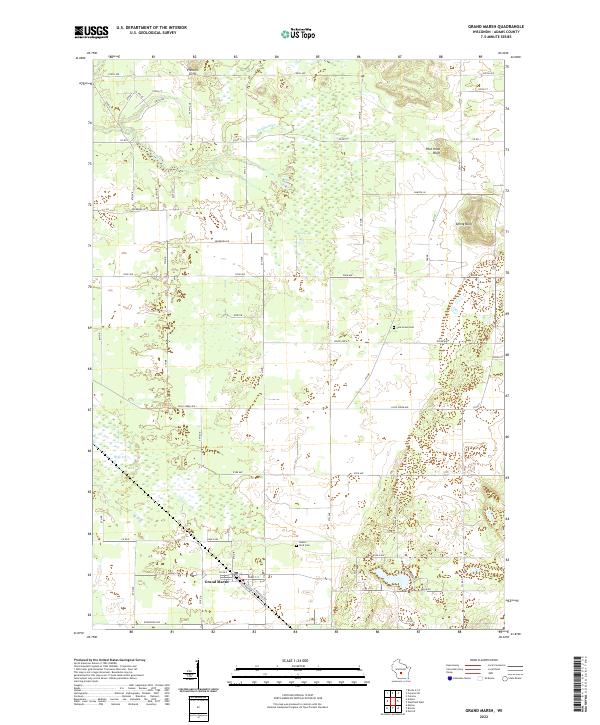
2022 Map of Grand Marsh
USGS Topo · Published 2022About this map
Grand Marsh serves as the central community in this pocket of Adams County, surrounded by a landscape defined by sharp elevation shifts and expansive wetland drainages. The terrain is punctuated by prominent geological features such as Preston Cliffs in the north and the high ground of Pilot Knob Bluff and Spring Bluff to the east. These sandstone formations overlook the low-lying basins of Fordham Cr and Duck Cr, where the grid of rural roads, including Co Rd J and Co Rd E, navigates the complex hydrology of the region.
Find a feature on this map
33 named features on this map. Tap any name to fly to it.
Don’t see what you’re looking for? This feature index may not catch every label — zoom into the map to look around manually.
Map Details
Editions of this 2022 Grand Marsh Map
This is the sole edition of this map. No revisions or reprints were ever made.
Historical Maps of Easton Through Time
6 maps found