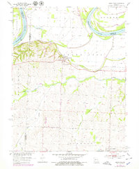
1953 Map of Grand Pass
USGS Topo · Published 1979About this map
Grand Pass sits at the nexus of the Missouri River bottoms and the high prairie bluffs of Saline County in the early 1950s. The landscape is defined by the sweeping curves of the Missouri River and its accompanying levees, while the interior is drained by the Salt Fork and winding tributaries like Pass Branch and Elm Branch. The railroad corridor of the Pacific Missouri line anchors the settlements, including the community of Mt Leonard to the south.
Find a feature on this map
18 named features on this map. Tap any name to fly to it.
Don’t see what you’re looking for? This feature index may not catch every label — zoom into the map to look around manually.
Map Details
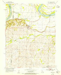
Editions of this 1953 Grand Pass Map
2 editions found
Other maps of this area

1889 · Lexington
USGS Topo · 1:125,000

1890 · Marshall
USGS Topo · 1:125,000

1892 · Marshall
USGS Topo · 1:125,000

1901 · Marshall
USGS Topo · 1:125,000

1951 · Alma
USGS Topo · 1:24,000

1951 · Miami Station
USGS Topo · 1:24,000

1951 · Carrollton East
USGS Topo · 1:24,000

1951 · Waverly
USGS Topo · 1:24,000

1953 · Moberly
USGS Topo · 1:250,000
1953 · Blackburn
USGS Topo · 1:24,000