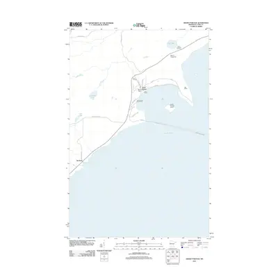
2011 Map of Grand Portage
USGS Topo · Published 2011About this map
Grand Portage sits at the heart of this North Shore landscape, where the land meets the cold waters of Lake Superior. The settlement is defined by its relationship to the lake, serving as a gateway for waterborne transit indicated by the Grand Portage Marina Ramp and the long Grand Portage-Isle Royale ferry route. The terrain rises sharply from the coast toward Mount Josephine and Mount Rose, providing a vertical contrast to the inland waters of Teal Lake, Dutchman Lake, and Cuffs Lake. Local history is anchored by sites such as Pagan Cemetery and the settlement at Red Rock, while the road network, including Old Town Site Rd and Mile Creek Rd, traces the community's development along the bay. This map captures the intersection of traditional routes and modern infrastructure, from the historic Ferry Rd to the protected harbor behind Grand Portage Island.
Find a feature on this map
26 named features on this map. Tap any name to fly to it.
Don’t see what you’re looking for? This feature index may not catch every label — zoom into the map to look around manually.
Map Details
Editions of this 2011 Grand Portage Map
This is the sole edition of this map. No revisions or reprints were ever made.
Other maps of this area

1958 · Hancock
USGS Topo · 1:250,000
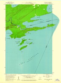
1959 · Pigeon Point
USGS Topo · 1:24,000

1959 · Mineral Center
USGS Topo · 1:24,000

1959 · Fort William
USGS Topo · 1:250,000
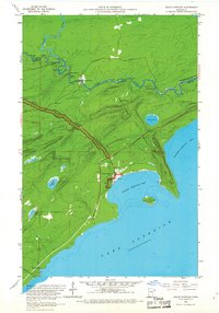
1959 · Grand Portage
USGS Topo · 1:24,000

1960 · Hancock
USGS Topo · 1:250,000
1960 · The Cascades
USGS Topo · 1:24,000

1961 · Hancock
USGS Topo · 1:250,000

1966 · Hancock
USGS Topo · 1:250,000

1968 · Fort William
USGS Topo · 1:250,000