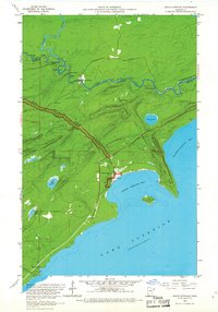
1959 Map of Grand Portage
USGS Topo · Published 1967About this map
The Grand Portage National Monument bisects this northern Minnesota landscape, tracing the historic overland route used to bypass the falls and rapids of the lower Pigeon River. This 1959 survey, produced in cooperation with the Iron Range Resources and Rehabilitation Commission, documents the critical international boundary between Ontario and Minnesota. Near the shore of Grand Portage Bay, the settlement of Grand Portage is clearly marked with its school and local structures at the foot of Mt Rose.
Find a feature on this map
33 named features on this map. Tap any name to fly to it.
Don’t see what you’re looking for? This feature index may not catch every label — zoom into the map to look around manually.
Map Details
Editions of this 1959 Grand Portage Map
2 editions found
Other maps of this area

1958 · Hancock
USGS Topo · 1:250,000
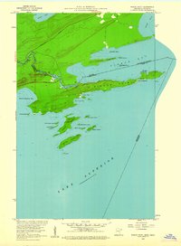
1959 · Pigeon Point
USGS Topo · 1:24,000

1959 · Mineral Center
USGS Topo · 1:24,000

1959 · Fort William
USGS Topo · 1:250,000

1960 · Hancock
USGS Topo · 1:250,000
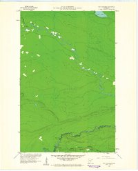
1960 · The Cascades
USGS Topo · 1:24,000

1961 · Hancock
USGS Topo · 1:250,000

1966 · Hancock
USGS Topo · 1:250,000

1968 · Fort William
USGS Topo · 1:250,000

1985 · Pigeon Point
USGS Topo · 1:100,000