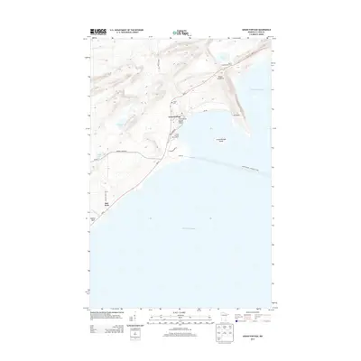
2013 Map of Grand Portage
USGS Topo · Published 2013About this map
Grand Portage sits along the cold northern shoreline of Lake Superior, where the land rises sharply toward peaks like Mount Josephine and Mount Rose. This area, deeply connected to maritime and transit history, serves as a gateway to the water with the Grand Portage - Isle Royale Ferry route extending east past Grand Portage Island. The map details a landscape where traditional sites like the Pagan Cem exist alongside modern infrastructure such as the Grand Portage Marina Ramp.
Find a feature on this map
25 named features on this map. Tap any name to fly to it.
Don’t see what you’re looking for? This feature index may not catch every label — zoom into the map to look around manually.
Map Details
Editions of this 2013 Grand Portage Map
This is the sole edition of this map. No revisions or reprints were ever made.
Other maps of this area
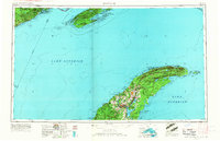
1958 · Hancock
USGS Topo · 1:250,000
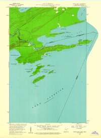
1959 · Pigeon Point
USGS Topo · 1:24,000
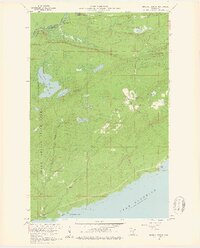
1959 · Mineral Center
USGS Topo · 1:24,000
1959 · Fort William
USGS Topo · 1:250,000
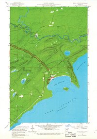
1959 · Grand Portage
USGS Topo · 1:24,000
1960 · Hancock
USGS Topo · 1:250,000
1960 · The Cascades
USGS Topo · 1:24,000
1961 · Hancock
USGS Topo · 1:250,000
1966 · Hancock
USGS Topo · 1:250,000
1968 · Fort William
USGS Topo · 1:250,000