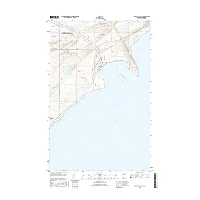
2016 Map of Grand Portage
USGS Topo · Published 2016About this map
The northern tip of the Minnesota shoreline meets the vast waters of Lake Superior in this study of the historic Grand Portage area. Modern infrastructure like Casino Dr and Bay Estates Dr exists alongside the protected acreage of the Grand Portage National Monument, which commemorates the vital fur trade portage between the lake and the inland Northwest. The landscape is dotted with small water bodies such as Teal Lake, Dutchman Lake, and Cuffs Lake, while the coastline is defined by features like Hollow Rock and the mouth of Hollow Rock Cr. Local heritage is anchored by the Pagan Cem near the junction of Eliza Rd and Townsite Rd. The presence of Old Hwy 61 and Highway 61 shows the evolution of travel along this north shore corridor.
Find a feature on this map
27 named features on this map. Tap any name to fly to it.
Don’t see what you’re looking for? This feature index may not catch every label — zoom into the map to look around manually.
Map Details
Editions of this 2016 Grand Portage Map
This is the sole edition of this map. No revisions or reprints were ever made.
Other maps of this area
1958 · Hancock
USGS Topo · 1:250,000
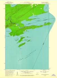
1959 · Pigeon Point
USGS Topo · 1:24,000
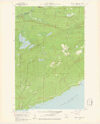
1959 · Mineral Center
USGS Topo · 1:24,000
1959 · Fort William
USGS Topo · 1:250,000
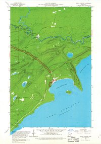
1959 · Grand Portage
USGS Topo · 1:24,000
1960 · Hancock
USGS Topo · 1:250,000
1960 · The Cascades
USGS Topo · 1:24,000
1961 · Hancock
USGS Topo · 1:250,000
1966 · Hancock
USGS Topo · 1:250,000
1968 · Fort William
USGS Topo · 1:250,000