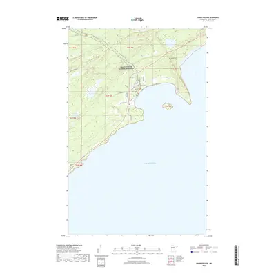
2019 Map of Grand Portage
USGS Topo · Published 2019About this map
The Grand Portage National Monument anchors this 2019 survey, protecting the historic transport route between the Great Lakes and the northern interior. Along the dramatic Lake Superior coastline, the topography rises sharply to high points like Mt Josephine and Mt Rose, while smaller inland bodies of water such as Teal Lake and Dutchman Lake dot the forested landscape. Modern development is concentrated near the coast, where local life follows roads like Portage Valley Rd and Casino Dr. Traces of the region's heritage are visible in the Pagan Cem and the route of Old Hwy 61, which cuts across the northern reaches of the quadrangle. Farther south, the small settlement of Hollow Rock sits at the edge of the lake, illustrating the remote and shoreline-dependent nature of contemporary habitation in this corner of Cook County.
Find a feature on this map
30 named features on this map. Tap any name to fly to it.
Don’t see what you’re looking for? This feature index may not catch every label — zoom into the map to look around manually.
Map Details
Editions of this 2019 Grand Portage Map
This is the sole edition of this map. No revisions or reprints were ever made.
Other maps of this area
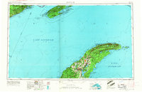
1958 · Hancock
USGS Topo · 1:250,000
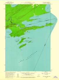
1959 · Pigeon Point
USGS Topo · 1:24,000
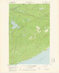
1959 · Mineral Center
USGS Topo · 1:24,000
1959 · Fort William
USGS Topo · 1:250,000
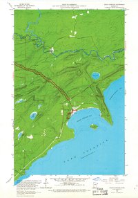
1959 · Grand Portage
USGS Topo · 1:24,000
1960 · Hancock
USGS Topo · 1:250,000
1960 · The Cascades
USGS Topo · 1:24,000
1961 · Hancock
USGS Topo · 1:250,000
1966 · Hancock
USGS Topo · 1:250,000
1968 · Fort William
USGS Topo · 1:250,000