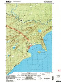
1999 Map of Grand Portage
USGS Topo · Published 2003About this map
The Pigeon River forms a jagged international boundary between the United States and Canada in this northern corner of Minnesota. The landscape is dominated by the Grand Portage Indian Reservation, where the historic Grand Portage National Monument follows an ancient overland route. This bypass was essential for early trade, connecting the rugged shoreline of Grand Portage Bay to the navigable waters of the interior. The settlement of Grand Portage sits at the foot of Mt. Rose, near the protected waters of the bay and Grand Portage Island. Inland, the terrain is marked by significant elevations like Mt. Josephine and water bodies such as Teal Lake and Dutchman Lake. Genealogists and local historians can locate specific landmarks like the Pagan Cem and the Lookout Tower, alongside natural features such as The Tunnel and Horn Rapids along the river.
Find a feature on this map
24 named features on this map. Tap any name to fly to it.
Don’t see what you’re looking for? This feature index may not catch every label — zoom into the map to look around manually.
Map Details
Editions of this 1999 Grand Portage Map
This is the sole edition of this map. No revisions or reprints were ever made.
Other maps of this area

1958 · Hancock
USGS Topo · 1:250,000
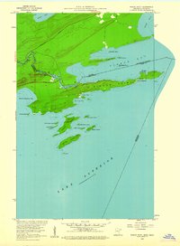
1959 · Pigeon Point
USGS Topo · 1:24,000

1959 · Mineral Center
USGS Topo · 1:24,000

1959 · Fort William
USGS Topo · 1:250,000
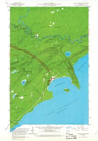
1959 · Grand Portage
USGS Topo · 1:24,000

1960 · Hancock
USGS Topo · 1:250,000
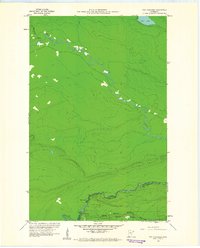
1960 · The Cascades
USGS Topo · 1:24,000

1961 · Hancock
USGS Topo · 1:250,000

1966 · Hancock
USGS Topo · 1:250,000

1968 · Fort William
USGS Topo · 1:250,000