
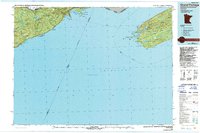
1985 Map of Grand Portage
USGS Topo · Published 1985About this map
Lake Superior dominates this mid-1980s survey, illustrating the maritime and wilderness character of the international border region between Minnesota, Michigan, and Canada. The map highlights the rugged topography of Isle Royale National Park, where the parallel elevations of Greenstone Ridge and Minong Ridge define the island's interior. On the Minnesota mainland, the Grand Portage Indian Reservation and Grand Portage State Forest protect the shoreline near Hovland and the historic transition at Pigeon Point.
Find a feature on this map
95 named features on this map. Tap any name to fly to it.
Don’t see what you’re looking for? This feature index may not catch every label — zoom into the map to look around manually.
Map Details
Editions of this 1985 Grand Portage Map
2 editions found
Other maps of this area

1954 · Two Harbors
USGS Topo · 1:250,000

1957 · Two Harbors
USGS Topo · 1:250,000

1957 · Quetico
USGS Topo · 1:250,000

1958 · Two Harbors
USGS Topo · 1:250,000

1958 · Hancock
USGS Topo · 1:250,000
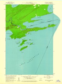
1959 · Pigeon Point
USGS Topo · 1:24,000

1959 · Mineral Center
USGS Topo · 1:24,000

1959 · Pine Lake East
USGS Topo · 1:24,000

1959 · Tom Lake
USGS Topo · 1:24,000

1959 · Fort William
USGS Topo · 1:250,000