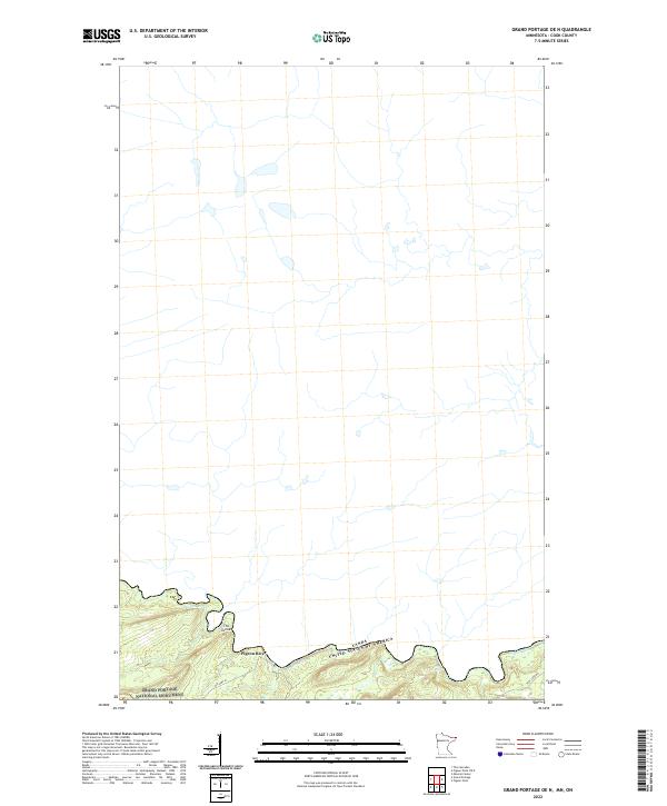
2022 Map of Grand Portage OE N
USGS Topo · Published 2022About this map
The Pigeon River serves as the prominent natural boundary along the international border between the Canada and the United States. Within this northern landscape, the Grand Portage National Monument preserves a vital corridor of early transit and trade. The topography is defined by the winding river valley, featuring notable locations such as The Tunnel and the turbulent waters of Horse Rapids. Transportation routes through the area are marked by Old Hwy 61 and Teal Lake Rd, showing the modern infrastructure overlaying a historically significant portage route. This survey provides a clear view of the township boundaries for t64n r5e and t64n r6e as they meet the river's edge.
Find a feature on this map
9 named features on this map. Tap any name to fly to it.
Don’t see what you’re looking for? This feature index may not catch every label — zoom into the map to look around manually.
Map Details
Editions of this 2022 Grand Portage OE N Map
This is the sole edition of this map. No revisions or reprints were ever made.
Other maps of this area

1958 · Hancock
USGS Topo · 1:250,000
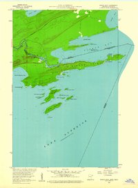
1959 · Pigeon Point
USGS Topo · 1:24,000

1959 · Mineral Center
USGS Topo · 1:24,000

1959 · Fort William
USGS Topo · 1:250,000
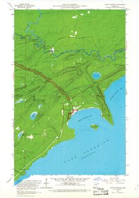
1959 · Grand Portage
USGS Topo · 1:24,000

1960 · Hancock
USGS Topo · 1:250,000
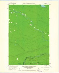
1960 · The Cascades
USGS Topo · 1:24,000

1961 · Hancock
USGS Topo · 1:250,000

1966 · Hancock
USGS Topo · 1:250,000

1968 · Fort William
USGS Topo · 1:250,000