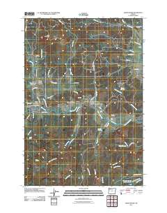
2011 Map of Grand Ronde
USGS Topo · Published 2011About this map
Grand Ronde Agency and the surrounding valley sit at a geographic crossroads where the South Yamhill River and various mountain creeks converge. The 2011 landscape reflects a deep layered history, centered on the Grand Ronde settlement and its vital Grand Ronde Post Office. This area is defined by the transition from the valley floor to the prominent rise of Spirit Mountain, with the rural character maintained through scattered family and community sites like the Fendall School and Mendenhall Airstrip.
Find a feature on this map
60 named features on this map. Tap any name to fly to it.
Don’t see what you’re looking for? This feature index may not catch every label — zoom into the map to look around manually.
Map Details
Editions of this 2011 Grand Ronde Map
This is the sole edition of this map. No revisions or reprints were ever made.
Other maps of this area

1942 · Sheridan
USGS Topo · 1:62,500

1942 · Spirit Mtn
USGS Topo · 1:62,500

1942 · Valsetz
USGS Topo · 1:62,500

1942 · Dallas
USGS Topo · 1:62,500

1948 · Vancouver
USGS Topo · 1:250,000

1950 · Vancouver
USGS Topo · 1:250,000

1950 · Vancouver
USGS Topo · 1:250,000

1953 · Salem
USGS Topo · 1:250,000

1954 · Salem
USGS Topo · 1:250,000

1955 · Grand Ronde
USGS Topo · 1:62,500