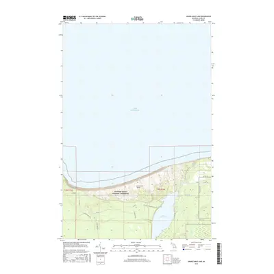
2017 Map of Grand Sable Lake
USGS Topo · Published 2017About this map
Pictured Rocks National Lakeshore dominates this coastal landscape, where the massive perched sand formations of the Grand Sable Dunes meet the southern shore of Lake Superior. The topography reveals a dramatic elevation drop from the high plateau down to the shoreline, a descent punctuated by Sable Falls near the mouth of Sable Creek. Inland, Grand Sable Lake sits as a primary freshwater feature, surrounded by a network of forest roads and hiking paths. The N Country National Scenic Trail winds through this terrain, tracing the edge of the dunes and the lake. Local infrastructure is defined by legacy routes such as Co Rd 58 and William Hill Rd, providing access to the remote timberlands and protected park areas of Alger County.
Find a feature on this map
23 named features on this map. Tap any name to fly to it.
Don’t see what you’re looking for? This feature index may not catch every label — zoom into the map to look around manually.
Map Details
Editions of this 2017 Grand Sable Lake Map
This is the sole edition of this map. No revisions or reprints were ever made.
Other maps of this area

1954 · Sault Sainte Marie
USGS Topo · 1:250,000

1956 · Sault Sainte Marie
USGS Topo · 1:250,000

1957 · Sault Sainte Marie
USGS Topo · 1:250,000

1958 · Sault Sainte Marie
USGS Topo · 1:250,000

1958 · Marquette
USGS Topo · 1:250,000

1960 · Marquette
USGS Topo · 1:250,000

1961 · Marquette
USGS Topo · 1:250,000

1966 · Au Sable Point SE
USGS Topo · 1:24,000
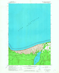
1966 · Grand Sable Lake
USGS Topo · 1:24,000
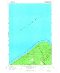
1966 · Au Sable Point
USGS Topo · 1:24,000