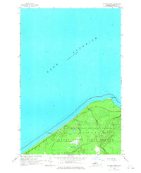
1966 Map of Au Sable Point
USGS Topo · Published 1968About this map
Au Sable Point Lighthouse stands as the primary landmark on this mid-1960s survey of the Alger County shoreline. The map documents a rugged stretch of the Upper Peninsula shortly after the establishment of the Pictured Rocks National Lakeshore, showing the early footprint of the Au Sable Point Campground and a network of trails. Inland, the topography transitions into the Grand Sable State Forest, where Sullivan Lake and Sullivan Creek drain toward the massive expanse of Lake Superior. The detail captured here reflects a landscape managed for conservation and public recreation, tracing the winding course of the Hurricane River as it meets the lake. This specific edition provides an essential record of the area’s coastal features and forest boundaries before modern development or shifting sands altered the shoreline's character.
Find a feature on this map
10 named features on this map. Tap any name to fly to it.
Don’t see what you’re looking for? This feature index may not catch every label — zoom into the map to look around manually.
Map Details
Editions of this 1966 Au Sable Point Map
2 editions found
Other maps of this area

1958 · Grand Portal Point
USGS Topo · 1:62,500

1958 · Marquette
USGS Topo · 1:250,000

1960 · Marquette
USGS Topo · 1:250,000

1961 · Marquette
USGS Topo · 1:250,000

1966 · Au Sable Point SE
USGS Topo · 1:24,000
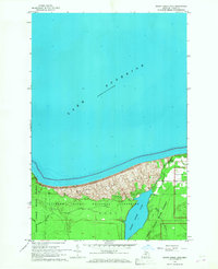
1966 · Grand Sable Lake
USGS Topo · 1:24,000
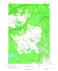
1966 · Au Sable Point SW
USGS Topo · 1:24,000

1968 · Marquette
USGS Topo · 1:250,000
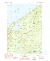
1983 · Trappers Lake
USGS Topo · 1:24,000
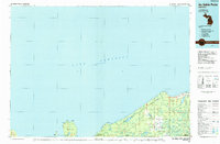
1984 · Au Sable Point
USGS Topo · 1:100,000