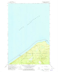
1966 Map of Au Sable Point
USGS Topo · Published 1979About this map
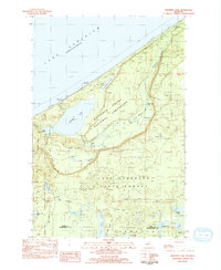
Au Sable Point reaches into the cold waters of Lake Superior, serving as a critical navigation point marked by its historic Lighthouse. This mid-1960s survey captures the area at a significant moment of transition as the Pictured Rocks National Lakeshore was being formally established. The landscape is dominated by the dense woodlands of the Grand Sable State Forest, where the terrain is punctuated by small water bodies like Sullivan Lake and the drainage of the Hurricane River. Coastal features such as Sullivans Landing and the Au Sable Point Campground highlight the area's shift from a rugged maritime and timber environment to one defined by conservation and recreation. The map details various trails and unimproved roads, providing a precise record of the shoreline before modern development altered the remote character of this Lake Superior stretch.
Find a feature on this map
11 named features on this map. Tap any name to fly to it.
Don’t see what you’re looking for? This feature index may not catch every label — zoom into the map to look around manually.
Map Details
Editions of this 1966 Au Sable Point Map
2 editions found
Other maps of this area

1958 · Grand Portal Point
USGS Topo · 1:62,500

1958 · Marquette
USGS Topo · 1:250,000

1960 · Marquette
USGS Topo · 1:250,000

1961 · Marquette
USGS Topo · 1:250,000

1966 · Au Sable Point SE
USGS Topo · 1:24,000
1966 · Grand Sable Lake
USGS Topo · 1:24,000
1966 · Au Sable Point
USGS Topo · 1:24,000
1966 · Au Sable Point SW
USGS Topo · 1:24,000

1968 · Marquette
USGS Topo · 1:250,000
1983 · Trappers Lake
USGS Topo · 1:24,000