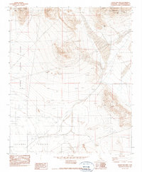
1982 Map of Grand View Mine
USGS Topo · Published 1985About this map
Ord Mountains dominate this high desert landscape in San Bernardino County, where mining activity left a permanent mark on the terrain. The presence of the Grand View Mine, Ford Mine, and Riley Mine suggests a period of intensive resource extraction centered around these peaks. The topography transitions from the dramatic elevations of East Ord Mountain and West Ord Mountain down into the broad expanses of the North Lucerne Valley and Lucerne Valley. This late-twentieth-century study shows how modern infrastructure began to cross this desolate environment, with significant utility corridors such as the Underground Gas Pipeline SE Side and various power lines cutting across the valley floors. Several prospects and isolated prospect pits remain scattered across the slopes, providing a detailed record for those researching the region's mineral history.
Find a feature on this map
13 named features on this map. Tap any name to fly to it.
Don’t see what you’re looking for? This feature index may not catch every label — zoom into the map to look around manually.
Map Details
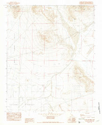
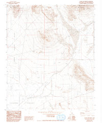
Editions of this 1982 Grand View Mine Map
3 editions found
Other maps of this area

1901 · Southern California Sheet No. 1
USGS Topo · 1:250,000

1902 · San Gorgonio
USGS Topo · 1:125,000

1904 · Southern California Sheet No. 1
USGS Topo · 1:250,000

1947 · Lucerne Valley
USGS Topo · 1:62,500

1949 · Lucerne Valley
USGS Topo · 1:62,500

1953 · San Bernardino
USGS Topo · 1:250,000

1955 · Old Woman Springs
USGS Topo · 1:62,500

1955 · Ord Mountains
USGS Topo · 1:62,500

1955 · Rodman Mountains
USGS Topo · 1:62,500

1956 · San Bernardino
USGS Topo · 1:250,000