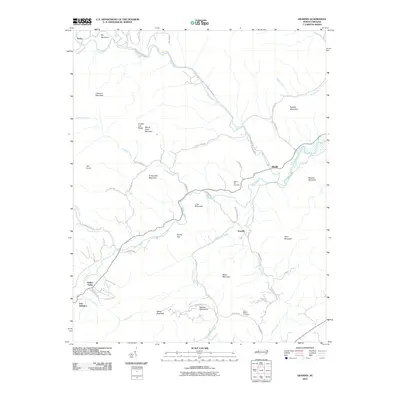
2010 Map of Grandin
USGS Topo · Published 2010About this map
Fort Defiance stands as a focal point in this valley landscape where the Yadkin River and its many tributaries, including Elk Creek and Mill Creek, carve through a complex series of ridges. The settlement pattern is defined by these watercourses, with communities like Grandin, Elkville, and Darby situated along the lower elevations. Rising sharply from the valley floor are numerous named peaks such as Butte Mountain, Turkey Hen Mountain, and the Warrior Mountains. Local family history is preserved at the Sherrill Hill Cemetery and Mount Bethel Cemetery, while the presence of Tom Dula Rd near Elkville connects the geography to regional folklore. The map detail highlights the winding rural infrastructure of Wilkes and Caldwell counties, including Kendall Town Rd and Elk Creek Darby Rd, following the natural contours of the terrain.
Find a feature on this map
51 named features on this map. Tap any name to fly to it.
Don’t see what you’re looking for? This feature index may not catch every label — zoom into the map to look around manually.
Map Details
Editions of this 2010 Grandin Map
This is the sole edition of this map. No revisions or reprints were ever made.
Other maps of this area

1889 · Wilkesboro
USGS Topo · 1:125,000

1891 · Wilkesboro
USGS Topo · 1:125,000

1893 · Cranberry
USGS Topo · 1:125,000

1895 · Hickory
USGS Topo · 1:125,000

1895 · Cranberry
USGS Topo · 1:125,000

1899 · Cranberry
USGS Topo · 1:125,000

1902 · Cranberry
USGS Topo · 1:125,000

1905 · Morganton
USGS Topo · 1:125,000

1936 · Blowing Rock
USGS Topo · 1:48,000

1942 · Blowing Rock
USGS Topo · 1:62,500