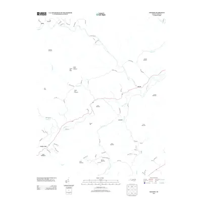
2013 Map of Grandin
USGS Topo · Published 2013About this map
Fort Defiance and the rural settlements of the upper Yadkin River valley anchor this landscape in the foothills of the Warrior Mountains. The area is defined by its deep connection to early North Carolina history and the river’s path, which serves as a central axis for communities like Yadkin Valley and Elkville. To the north, the terrain becomes increasingly complex as the ridges of Chestnut Mountain and Sly Mountain rise above the drainage of Elk Cr. The map highlights a network of local roads that bear family and community names, such as Triplett Town Rd and Kendell Town Rd, reflecting the generational settlement patterns of Wilkes County. Notable landmarks like Tom Dula Rd provide a tangible link to local folklore, while the scattered crossroads of Grandin and Darby illustrate the enduring, decentralized nature of these mountain valley townships.
Find a feature on this map
75 named features on this map. Tap any name to fly to it.
Don’t see what you’re looking for? This feature index may not catch every label — zoom into the map to look around manually.
Map Details
Editions of this 2013 Grandin Map
This is the sole edition of this map. No revisions or reprints were ever made.
Other maps of this area

1889 · Wilkesboro
USGS Topo · 1:125,000

1891 · Wilkesboro
USGS Topo · 1:125,000

1893 · Cranberry
USGS Topo · 1:125,000

1895 · Hickory
USGS Topo · 1:125,000

1895 · Cranberry
USGS Topo · 1:125,000

1899 · Cranberry
USGS Topo · 1:125,000

1902 · Cranberry
USGS Topo · 1:125,000

1905 · Morganton
USGS Topo · 1:125,000

1936 · Blowing Rock
USGS Topo · 1:48,000

1942 · Blowing Rock
USGS Topo · 1:62,500