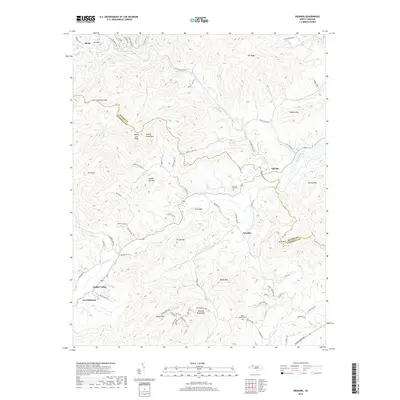
2019 Map of Grandin
USGS Topo · Published 2019About this map
Fort Defiance stands as a focal point in this 2019 survey, situated near the Yadkin River where the valley begins its ascent into the Warrior Mountains. This landscape is defined by the winding course of Elk Creek and numerous smaller drainages like Laytown Cr and Kings Cr that have carved the complex terrain of the Brushy Mountains and Blue Ridge foothills. The map documents the persistent rural character of settlements such as Darby, Grandin, and Elkville, connected by a network of winding roads like Elk Creek Darby Rd. Genealogists and local historians can locate established burial grounds including Sherrill Hill Cem and Mount Bethel Cem. The boundary between Wilkes Co and Caldwell Co follows the prominent County Line Ridge, illustrating how the physical geography dictated political divisions in this part of North Carolina.
Find a feature on this map
81 named features on this map. Tap any name to fly to it.
Don’t see what you’re looking for? This feature index may not catch every label — zoom into the map to look around manually.
Map Details
Editions of this 2019 Grandin Map
This is the sole edition of this map. No revisions or reprints were ever made.
Other maps of this area

1889 · Wilkesboro
USGS Topo · 1:125,000

1891 · Wilkesboro
USGS Topo · 1:125,000

1893 · Cranberry
USGS Topo · 1:125,000

1895 · Hickory
USGS Topo · 1:125,000

1895 · Cranberry
USGS Topo · 1:125,000

1899 · Cranberry
USGS Topo · 1:125,000

1902 · Cranberry
USGS Topo · 1:125,000

1905 · Morganton
USGS Topo · 1:125,000

1936 · Blowing Rock
USGS Topo · 1:48,000

1942 · Blowing Rock
USGS Topo · 1:62,500