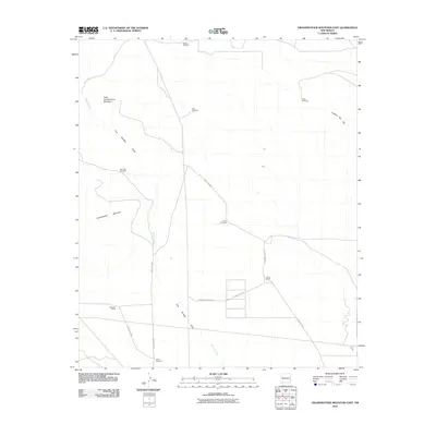
2010 Map of Grandmother Mountain East
USGS Topo · Published 2010About this map
Grandmother Mountain and its smaller counterpart, Little Grandmother Mountain, anchor this high-desert landscape in Luna County. The 2010 environment is defined by a sparse but deliberate network of water-access points and cattle operations, evidenced by the numerous named landmarks such as Stevens Windmill, New Windmill, and Gage Windmill. These features indicate the essential nature of groundwater management for the scattered ranching interests in this arid region.
Find a feature on this map
18 named features on this map. Tap any name to fly to it.
Don’t see what you’re looking for? This feature index may not catch every label — zoom into the map to look around manually.
Map Details
Editions of this 2010 Grandmother Mountain East Map
This is the sole edition of this map. No revisions or reprints were ever made.
Other maps of this area

1899 · Deming
USGS Topo · 1:125,000

1915 · Deming
USGS Topo · 1:125,000

1954 · Silver City
USGS Topo · 1:250,000

1955 · Las Cruces
USGS Topo · 1:250,000

1958 · Las Cruces
USGS Topo · 1:250,000

1958 · Silver City
USGS Topo · 1:250,000

1962 · Silver City
USGS Topo · 1:250,000
1963 · Antelope Hill
USGS Topo · 1:24,000
1963 · Cow Springs Mountain
USGS Topo · 1:24,000

1963 · Gage NW
USGS Topo · 1:24,000