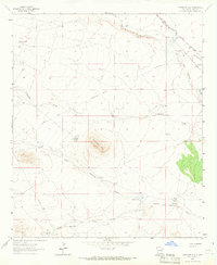
1963 Map of Antelope Hill
USGS Topo · Published 1965About this map
The Butterfield Trail cuts a historic diagonal across this Luna County landscape, tracing a path through the high desert during the early 1960s. This arid territory is defined by its sophisticated water-management network, where named infrastructure like Criswell Tank, Upton Tank, and numerous windmills—including the Homestead Windmill and Yates Windmill—supported the region's ranching operations. The topography is dominated by the prominent Antelope Hill, which rises above a series of drainages such as Antelope Draw and West Antelope Draw.
Find a feature on this map
29 named features on this map. Tap any name to fly to it.
Don’t see what you’re looking for? This feature index may not catch every label — zoom into the map to look around manually.
Map Details
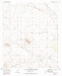
Editions of this 1963 Antelope Hill Map
2 editions found
Other maps of this area

1899 · Deming
USGS Topo · 1:125,000

1909 · Silver City
USGS Topo · 1:125,000

1915 · Deming
USGS Topo · 1:125,000

1947 · Faywood Station
USGS Topo · 1:24,000

1949 · Whitewater
USGS Topo · 1:24,000

1949 · Faywood Station
USGS Topo · 1:24,000

1954 · Silver City
USGS Topo · 1:250,000

1955 · Las Cruces
USGS Topo · 1:250,000

1956 · Dwyer
USGS Topo · 1:62,500

1958 · Las Cruces
USGS Topo · 1:250,000