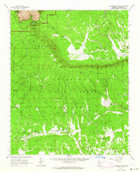
1962 Map of Grandview Point
USGS Topo · Published 1964About this map
Moqui Stage Station (Site) sits at the heart of this high-plateau survey, marking a historical waypoint on the vast Kaibab Plateau. The landscape is defined by the sharp transition from the Coconino National Forest to the dramatic northern edge of the Grand Canyon National Park. Along the South Rim, notable topographic landmarks such as Grandview Point and the towering Sinking Ship formation provide clear orientation for the area's geography.
Find a feature on this map
81 named features on this map. Tap any name to fly to it.
Don’t see what you’re looking for? This feature index may not catch every label — zoom into the map to look around manually.
Map Details
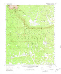
Editions of this 1962 Grandview Point Map
2 editions found
Other maps of this area

1886 · San Francisco Mtns
USGS Topo · 1:250,000

1886 · Chino
USGS Topo · 1:250,000

1886 · Echo Cliffs
USGS Topo · 1:250,000

1886 · Kaibab
USGS Topo · 1:250,000

1891 · San Francisco Mtns
USGS Topo · 1:250,000

1891 · Chino
USGS Topo · 1:250,000

1891 · Echo Cliffs
USGS Topo · 1:250,000

1894 · San Francisco Mtns
USGS Topo · 1:250,000

1899 · San Francisco Mtns
USGS Topo · 1:250,000

1903 · Bright Angel
USGS Topo · 1:48,000