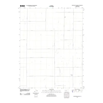
2010 Map of Grandview School
USGS Topo · Published 2010About this map
Grandview School stands as a primary landmark in this rural landscape of Pueblo County, Colorado, defined by an orderly grid of country roads and sparse ranching outposts. The terrain is characterized by its agricultural organization, with family-named features like Schubert Ranch and Mrs Wright Rd indicating long-standing local ties to the land. Most of the map is dominated by named thoroughfares such as Highland Rd, Sullivan Rd, and Prairie Hills East Rd, which facilitate movement between scattered homesteads. The naming convention of the road network, alternating between numbered routes like County Road Z and distinct lanes such as County Lane 3, suggests a deliberate system of rural address and parcel management. This late-twentieth-century survey documents the persistent ranching character of the Colorado plains, where infrastructure is centered on property access and small-scale education centers.
Find a feature on this map
25 named features on this map. Tap any name to fly to it.
Don’t see what you’re looking for? This feature index may not catch every label — zoom into the map to look around manually.
Map Details
Editions of this 2010 Grandview School Map
This is the sole edition of this map. No revisions or reprints were ever made.
Other maps of this area

1889 · Sanborn
USGS Topo · 1:125,000

1891 · Sanborn
USGS Topo · 1:125,000

1891 · Catlin
USGS Topo · 1:125,000

1891 · Nepesta
USGS Topo · 1:125,000

1893 · Nepesta
USGS Topo · 1:125,000

1893 · Sanborn
USGS Topo · 1:125,000

1893 · Big Springs
USGS Topo · 1:125,000

1893 · Catlin
USGS Topo · 1:125,000

1904 · Nepesta
USGS Topo · 1:125,000

1954 · Lamar
USGS Topo · 1:250,000