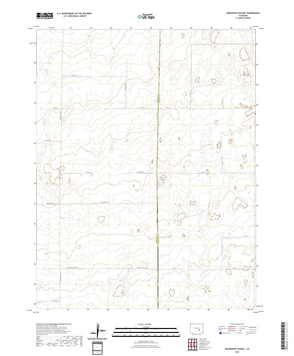
2022 Map of Grandview School
USGS Topo · Published 2022About this map
The border between Pueblo County and Crowley County divides this high plains landscape, defined by a rigid grid of rural roads and section lines. The terrain is marked by subtle drainage patterns and wide-open spaces where family-named routes like Mrs Wright Rd, Moreland Rd, and Sullivan Rd suggest the localized history of ranching or homesteading in this part of southeastern Colorado. North-south arterials such as E Co Line Rd and Prairie Hill Rd anchor the survey, showing the modern infrastructure of a region still governed by the Public Land Survey System. The area is characterized by sparse development, with long-established property boundaries and water-management features typical of the arid prairie environment east of the Front Range.
Find a feature on this map
25 named features on this map. Tap any name to fly to it.
Don’t see what you’re looking for? This feature index may not catch every label — zoom into the map to look around manually.
Map Details
Editions of this 2022 Grandview School Map
This is the sole edition of this map. No revisions or reprints were ever made.
Other maps of this area

1889 · Sanborn
USGS Topo · 1:125,000

1891 · Sanborn
USGS Topo · 1:125,000

1891 · Catlin
USGS Topo · 1:125,000

1891 · Nepesta
USGS Topo · 1:125,000

1893 · Nepesta
USGS Topo · 1:125,000

1893 · Sanborn
USGS Topo · 1:125,000

1893 · Big Springs
USGS Topo · 1:125,000

1893 · Catlin
USGS Topo · 1:125,000

1904 · Nepesta
USGS Topo · 1:125,000

1954 · Lamar
USGS Topo · 1:250,000