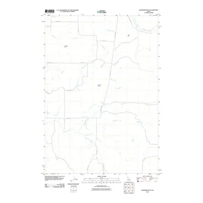
2010 Map of Granger Butte
USGS Topo · Published 2010About this map
Granger Butte rises above a landscape defined by volcanic geology and agricultural water rights in Washington County. This 2010 survey details a high desert environment where local hydrology is vital, centered on features like Bill George Spring and the drainage of the Little Weiser River. The map illustrates a network of rural roads such as Indian Valley Rd and Hanthorne Rd that connect isolated properties and grazing lands. Distinctive geological markers like Bedrock Flat and Lava Flat underscore the basalt-rich terrain typical of this part of Idaho. Waterways including Hog Creek, Granger Creek, and Shirts Creek carve through the flats, showing the intricate natural irrigation patterns that support the region's ranching heritage and land use at the start of the decade.
Find a feature on this map
22 named features on this map. Tap any name to fly to it.
Don’t see what you’re looking for? This feature index may not catch every label — zoom into the map to look around manually.
Map Details
Editions of this 2010 Granger Butte Map
This is the sole edition of this map. No revisions or reprints were ever made.
Other maps of this area

1894 · Squaw Creek
USGS Topo · 1:125,000

1897 · Weiser
USGS Topo · 1:125,000

1911 · Meadows
USGS Topo · 1:125,000

1954 · Council
USGS Topo · 1:62,500

1955 · Baker
USGS Topo · 1:250,000

1957 · Cambridge
USGS Topo · 1:62,500

1957 · Crane Creek Reservoir
USGS Topo · 1:62,500

1959 · Baker
USGS Topo · 1:250,000

1970 · Dodson Pass
USGS Topo · 1:24,000

1970 · Granger Butte
USGS Topo · 1:24,000