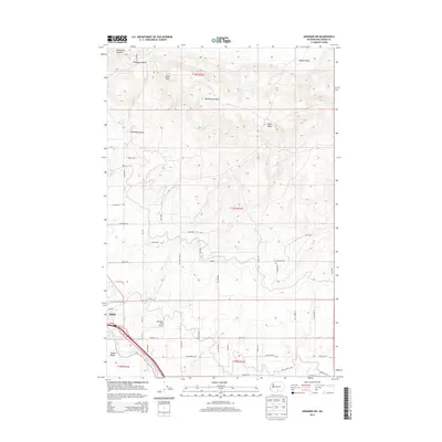
2013 Map of Granger NW
USGS Topo · Published 2013About this map
The Zillah community and the surrounding agricultural landscape of the Yakima Valley define this early 21st-century survey. Irrigation infrastructure is central to the area's development, evidenced by the Roza Wasteway Number 4 and the W Lateral canal system that draws from the nearby Yakima River. This network supports the orchards and farms that sit between the river and the high, arid ridges to the north.
Find a feature on this map
50 named features on this map. Tap any name to fly to it.
Don’t see what you’re looking for? This feature index may not catch every label — zoom into the map to look around manually.
Map Details
Editions of this 2013 Granger NW Map
This is the sole edition of this map. No revisions or reprints were ever made.
Other maps of this area

1910 · Zillah
USGS Topo · 1:125,000

1936 · Yakima East
USGS Topo · 1:48,000

1936 · Hog Ranch Buttes
USGS Topo · 1:48,000

1941 · Black Rock Spring
USGS Topo · 1:62,500

1941 · Yakima East
USGS Topo · 1:62,500

1950 · Yakima
USGS Topo · 1:250,000
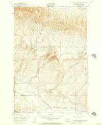
1953 · Black Rock Spring SW
USGS Topo · 1:24,000

1953 · Elephant Mountain
USGS Topo · 1:24,000
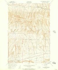
1953 · Black Rock Spring
USGS Topo · 1:24,000
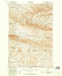
1953 · Black Rock Spring
USGS Topo · 1:62,500