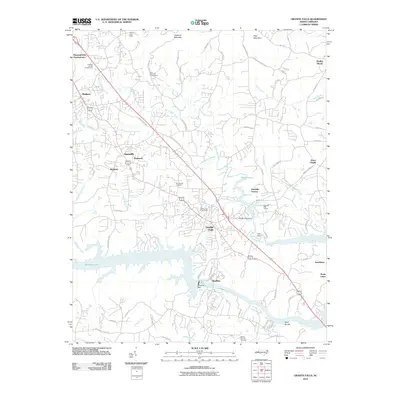
2010 Map of Granite Falls
USGS Topo · Published 2010About this map
Granite Falls and the neighboring industrial settlements of Sawmills, Hudson, and Rhodhiss anchor this Piedmont landscape as it appeared in the early 21st century. The topographic character is defined by the heavy drainage of Gunpowder Creek and Little Gunpowder Creek, which converge as they flow toward the expansive Rhodhiss Lake. This hydrography supported early local industry, evidenced by the Rhodhiss Dam and the infrastructure surrounding the Old Mill Pond Dam.
Find a feature on this map
80 named features on this map. Tap any name to fly to it.
Don’t see what you’re looking for? This feature index may not catch every label — zoom into the map to look around manually.
Map Details
Editions of this 2010 Granite Falls Map
This is the sole edition of this map. No revisions or reprints were ever made.
Other maps of this area

1895 · Hickory
USGS Topo · 1:125,000
1905 · Morganton
USGS Topo · 1:125,000

1953 · Charlotte
USGS Topo · 1:250,000

1954 · Charlotte
USGS Topo · 1:250,000
1956 · Valdese
USGS Topo · 1:24,000
1956 · Lenoir
USGS Topo · 1:24,000
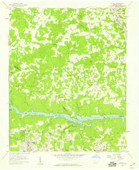
1956 · Drexel
USGS Topo · 1:24,000
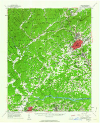
1956 · Lenoir
USGS Topo · 1:62,500

1960 · Charlotte
USGS Topo · 1:250,000

1962 · Charlotte
USGS Topo · 1:250,000