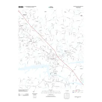
2013 Map of Granite Falls
USGS Topo · Published 2013About this map
Granite Falls and the industrial riverfronts of Rhodhiss anchor this landscape along the Catawba River valley. The geography is defined by the expansive waters of Rhodhiss Lake and Lake Hickory, separated by the dam near Drowning Cr. The settlement pattern follows the corridor of Route 321, linking established communities like Sawmills and Hudson with newer residential areas such as Mountain View Development. Local life is well-documented through numerous rural institutions, including the Sawmills School and a high concentration of community landmarks like Ebenezer Church and the Caldwell County Fairgrounds.
Find a feature on this map
334 named features on this map. Tap any name to fly to it.
Don’t see what you’re looking for? This feature index may not catch every label — zoom into the map to look around manually.
Map Details
Editions of this 2013 Granite Falls Map
This is the sole edition of this map. No revisions or reprints were ever made.
Other maps of this area

1895 · Hickory
USGS Topo · 1:125,000

1905 · Morganton
USGS Topo · 1:125,000

1953 · Charlotte
USGS Topo · 1:250,000

1954 · Charlotte
USGS Topo · 1:250,000

1956 · Valdese
USGS Topo · 1:24,000

1956 · Lenoir
USGS Topo · 1:24,000

1956 · Drexel
USGS Topo · 1:24,000

1956 · Lenoir
USGS Topo · 1:62,500

1960 · Charlotte
USGS Topo · 1:250,000

1962 · Charlotte
USGS Topo · 1:250,000