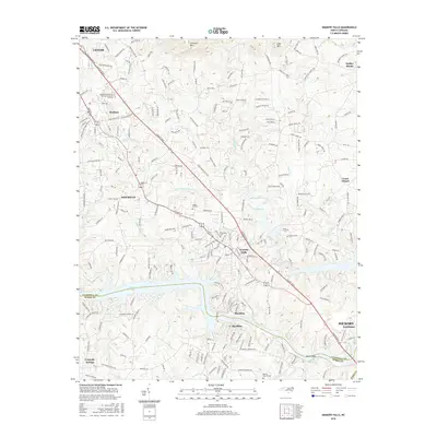
2016 Map of Granite Falls
USGS Topo · Published 2016About this map
Rhodhiss Lake and Lake Hickory define the southern landscape of this 2016 survey, where the Catawba River forms the boundary between Caldwell and Burke counties. The settlement of Granite Falls serves as a central hub, flanked by the residential and industrial growth of Hudson, Sawmills, and Rhodhiss. The map captures a well-developed transportation network anchored by Hickory Blvd, which links these communities to Lenoir in the northwest and Hickory Northlakes in the southeast.
Find a feature on this map
112 named features on this map. Tap any name to fly to it.
Don’t see what you’re looking for? This feature index may not catch every label — zoom into the map to look around manually.
Map Details
Editions of this 2016 Granite Falls Map
This is the sole edition of this map. No revisions or reprints were ever made.
Other maps of this area

1895 · Hickory
USGS Topo · 1:125,000

1905 · Morganton
USGS Topo · 1:125,000

1953 · Charlotte
USGS Topo · 1:250,000

1954 · Charlotte
USGS Topo · 1:250,000

1956 · Valdese
USGS Topo · 1:24,000

1956 · Lenoir
USGS Topo · 1:24,000

1956 · Drexel
USGS Topo · 1:24,000

1956 · Lenoir
USGS Topo · 1:62,500

1960 · Charlotte
USGS Topo · 1:250,000

1962 · Charlotte
USGS Topo · 1:250,000