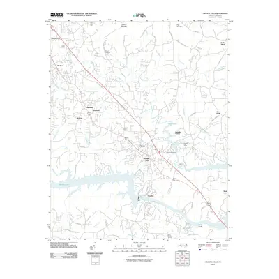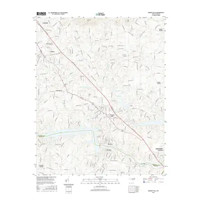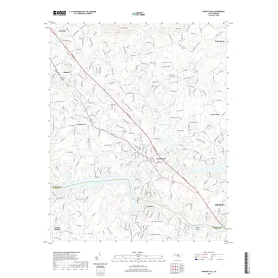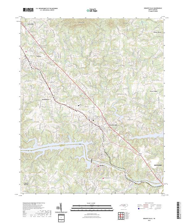
2022 Map of Granite Falls
USGS Topo · Published 2022About this map
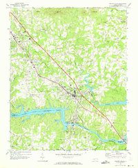
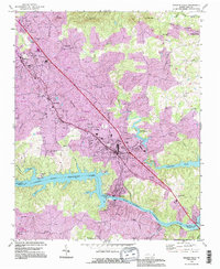
Rhodhiss Lake and the Catawba River form the southern boundary of this Piedmont landscape, separating Caldwell Co from Burke County. The area is defined by a dense network of residential growth and established settlements, particularly in Granite Falls and Rhodhiss, where local life is oriented toward the river. To the north, the terrain rises toward Chestnut Mtn and Pilot Mtn, framing the transition from the Catawba valley to the foothills. Genealogists and local historians can locate several burial grounds, including Sunset Hill Cem and Liberty Church Cem, while educational infrastructure is represented by the Caldwell Community College and Technical Institute near Hudson. The map also traces various watercourses like Gunpowder Creek and Silver Cr as they feed into the lake system.
Find a feature on this map
37 named features on this map. Tap any name to fly to it.
Don’t see what you’re looking for? This feature index may not catch every label — zoom into the map to look around manually.
Map Details
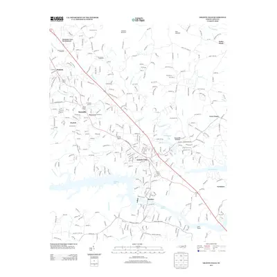
Editions of this 2022 Granite Falls Map
This is the sole edition of this map. No revisions or reprints were ever made.
Historical Maps of Hickory Through Time
7 maps found