
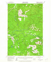
1956 Map of Granite Falls
USGS Topo · Published 1958About this map
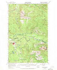
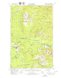
Granite Falls serves as the gateway to the heavy timber and high peaks of the Cascade foothills in the mid-1950s. The South Fork Stillaguamish River cuts through the center of the sheet, followed by a mountain highway that connects small settlements like Robe and Verlot. These riverside corridors reflect an era of resource extraction and early recreation, evidenced by the presence of the Wayside Mine near Iron Mountain and the Canyon Creek Lodge.
Find a feature on this map
72 named features on this map. Tap any name to fly to it.
Don’t see what you’re looking for? This feature index may not catch every label — zoom into the map to look around manually.
Map Details
Editions of this 1956 Granite Falls Map
4 editions found
Other maps of this area

1895 · Snohomish
USGS Topo · 1:125,000

1897 · Seattle
USGS Topo · 1:125,000

1899 · Stillaguamish
USGS Topo · 1:125,000

1901 · Stilaguamish
USGS Topo · 1:125,000

1911 · Mount Vernon
USGS Topo · 1:125,000

1921 · Sultan
USGS Topo · 1:125,000

1923 · Sultan
USGS Topo · 1:125,000

1941 · Marysville
USGS Topo · 1:62,500

1943 · Marysville
USGS Topo · 1:62,500

1944 · Clear Lake
USGS Topo · 1:62,500