Loading...
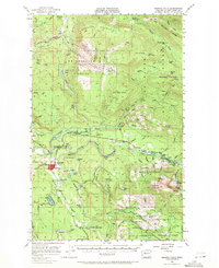
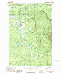
Loading map...1956 Map of Granite Falls
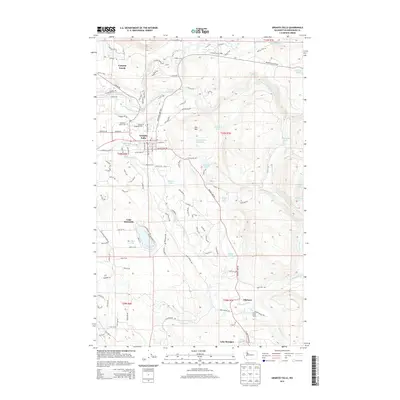
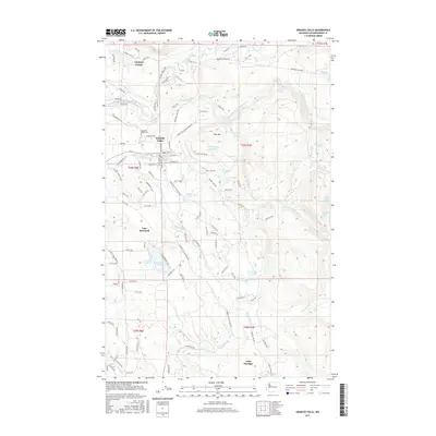
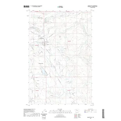
USGS Topo · Published 1971About this map
South Fork Stillaguamish River serves as the central artery for this mid-century landscape, where industrial logging and hydroelectric potential shaped the local geography. The town of Granite Falls stands as the primary hub, surrounded by a network of early mountain infrastructure including the Robe Highway and several specialized settlements like Robe and Verlot. To the north, the Tulalip Naval Reservation occupies a significant portion of Wheeler Mountain, marked by early radio towers and high-altitude surveying.
Find a feature on this map
80 named features on this map. Tap any name to fly to it.
Don’t see what you’re looking for? This feature index may not catch every label — zoom into the map to look around manually.
Map Details
Date Portrayed1956
Date Published1971
PublisherU.S. Geological Survey
Map TypeTopographic
Scale1:62,500
Physical Dimensions17.1 x 20.9 inches
Editions of this 1956 Granite Falls Map
4 editions found
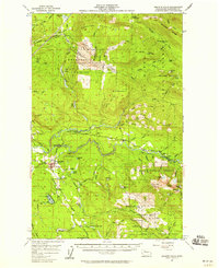
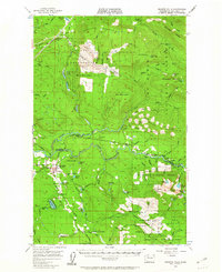
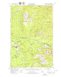
Historical Maps of Granite Falls Through Time
7 maps found


Featured Locations
Source Details
SourceU.S. Geological Survey
CopyrightPublic Domain