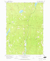
1963 Map of Granite Lake
USGS Topo · Published 1977About this map
The North Fork Payette River winds through the heart of this high-elevation wilderness within the Payette National Forest, as documented in 1963. The landscape is defined by its complex drainage network and high-mountain basins, including the namesake Granite Lake and the elongated Upper Payette Lake to the north. Resource management is evident at the Brundage Reservoir, while named openings like Sater Meadows and Hartly Meadows interrupt the timbered slopes. This survey records the early 1960s state of backcountry access, showing a sparse Trail network and a few unimproved roads crossing the Valley and Adams County line. The map is particularly useful for identifying minor watercourses such as Deep Creek, Pearl Creek, and the curiously named Lake Jeep.
Find a feature on this map
24 named features on this map. Tap any name to fly to it.
Don’t see what you’re looking for? This feature index may not catch every label — zoom into the map to look around manually.
Map Details
Editions of this 1963 Granite Lake Map
3 editions found

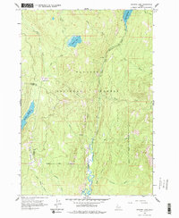
Other maps of this area

1911 · Meadows
USGS Topo · 1:125,000

1938 · Riggins
USGS Topo · 1:96,000

1945 · Riggins
USGS Topo · 1:125,000

1955 · Baker
USGS Topo · 1:250,000

1955 · Grangeville
USGS Topo · 1:250,000

1956 · Elk City
USGS Topo · 1:250,000

1957 · Challis
USGS Topo · 1:250,000

1959 · Baker
USGS Topo · 1:250,000

1959 · Grangeville
USGS Topo · 1:250,000

1960 · Elk City
USGS Topo · 1:250,000