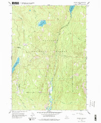
1963 Map of Granite Lake
USGS Topo · Published 1977About this map
Payette National Forest dominates this mountain landscape, centered on the high-elevation basin where Granite Lake and Upper Payette Lake feed into the complex drainage system of the North Fork Payette River. The 1963 field survey documents a wilderness environment defined by narrow canyons and isolated wetlands like Sater Meadows and Hartly Meadows. In the southwest, the Brundage Reservoir spillway reflects early water management efforts at over 6,000 feet. The region's limited transportation infrastructure is represented by the Fisher Creek Trail, tracing a path through the timbered terrain of the Valley and Adams county line. The map captures a transition point for numerous mountain streams, including Box Creek, Twah Creek, and Yockwah Creek, as they descend toward the river valley.
Find a feature on this map
24 named features on this map. Tap any name to fly to it.
Don’t see what you’re looking for? This feature index may not catch every label — zoom into the map to look around manually.
Map Details
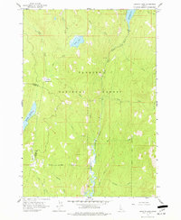
Editions of this 1963 Granite Lake Map
3 editions found

Other maps of this area

1911 · Meadows
USGS Topo · 1:125,000

1938 · Riggins
USGS Topo · 1:96,000

1945 · Riggins
USGS Topo · 1:125,000

1955 · Baker
USGS Topo · 1:250,000

1955 · Grangeville
USGS Topo · 1:250,000

1956 · Elk City
USGS Topo · 1:250,000

1957 · Challis
USGS Topo · 1:250,000

1959 · Baker
USGS Topo · 1:250,000

1959 · Grangeville
USGS Topo · 1:250,000

1960 · Elk City
USGS Topo · 1:250,000