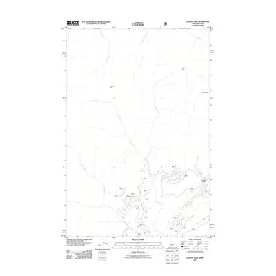
2011 Map of Granite Pass
USGS Topo · Published 2011About this map
Granite Pass serves as a key crossing point in this high-elevation landscape along the Idaho-Montana border. The terrain is defined by prominent summits including Granite Peak, Pilot Knob, and Rocky Peak, which overlook a complex drainage network. Waterways like the Crooked Fork, Pebble Creek, and Hopeful Creek carve through the mountain slopes, illustrating the natural watershed patterns of the Bitterroot range.
Find a feature on this map
34 named features on this map. Tap any name to fly to it.
Don’t see what you’re looking for? This feature index may not catch every label — zoom into the map to look around manually.
Map Details
Editions of this 2011 Granite Pass Map
This is the sole edition of this map. No revisions or reprints were ever made.
Other maps of this area

1911 · Lolo
USGS Topo · 1:250,000

1913 · Lolo
USGS Topo · 1:250,000

1956 · Hamilton
USGS Topo · 1:250,000

1959 · Hamilton
USGS Topo · 1:250,000

1960 · Hamilton
USGS Topo · 1:250,000

1960 · Straight Peak
USGS Topo · 1:62,500

1964 · Hamilton
USGS Topo · 1:250,000

1964 · Lolo Hot Springs
USGS Topo · 1:24,000

1964 · Rocky Point
USGS Topo · 1:24,000
1964 · White Mountain
USGS Topo · 1:24,000